General Information
Nahiya (Subdistrict)
Mabeta
Also Known As
Al-Bulutiya, Jomazanli, Sheikh Kilo, Çomazna, Çomezna, البلوطية, جوماز انلي, جومازانلي, جومزنو

Photos
Basic Information about Çomazna
Source: Tirej Afrin
Etymology: The literal meaning of the name Çomezna in Kurdish is "owners of big sticks" (çom + mezna). It appears that it was an attribute of its early shepherd inhabitants.
Foundation Date/Period: Approximately 150 years
Hills: Xastiya
Other Landmarks: Wadî Bişberq, Wadî Cercem
Summaries
I. Summary from TirejAfrin Site (English) of Çomazna
Source: https://www.tirejafrin.com/site/kura%20afrin%20%20%20mebetli%20-%20comazna.htm
The following is stated in the book جبل الكرد (عفرين) دراسة جغرافية Çiyayê Kurmênc (Efrîn): A Geographical Study by د. محمد عبدو علي Dr. Mihemed Ebdo Elî:
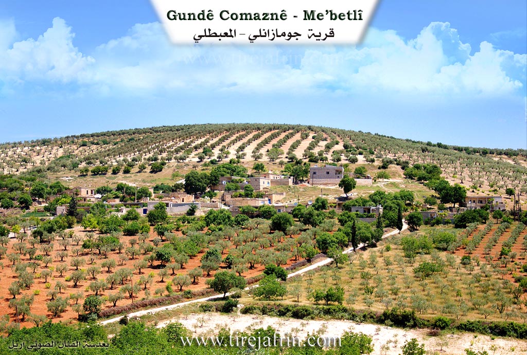
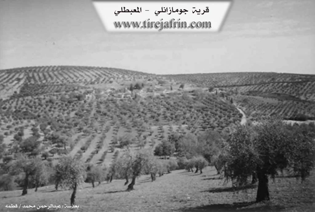
Çomezna, Çomazanlî, El-Bellûtiye / 15km - 670m /:
Çomezna: The literal meaning of the name in Kurdish is "owners of big sticks" (çom + mezna). It appears that it was an attribute of its early shepherd inhabitants. It is a small village located on the slopes of the southern highlands of Mount Xastiya.
The following is stated in the book عفرين .... نهرها وروابيها الخضراء Efrîn... Her River and Her Green Hills by the writer عبدالرحمن محمد Ebdulrehman Mihemed from the village of Qetme:
Şêx Kîlo: A farm in Çiyayê Kurmênc, administratively belonging to the district of Mabeta, region of Efrîn, governorate of Heleb. It is a small farm located in the central section of Çiyayê Kurmênc, on the western slope of a limestone plateau and declivities. It is approximately 13km away from the district center. Its soil is clay.
It is bordered to the north by a slope, a watercourse, a mountain range planted with olive trees, and the village of Qişle. To the south, it is bordered by a slope, a deep watercourse planted with olive and walnut trees, Wadî Bişberq, Wadî Cercem, and the villages of Îkî Axûr and Rotanlî. To the west, it is bordered by a slope, a watercourse, the Riya Tormişkanlî û Mîrkanlî (Tormişkanlî and Mîrkanlî public road), and the villages of Elî Caro and Hemo Raco. To the east, it is bordered by a high mountain range planted with olive trees, a watercourse, and the village of Berîmce at the highest mountain peak.
The number of its houses is approximately 15, and its age is approximately 150 years. Its old houses are made of stone and mud with flat wooden roofs, while modern cement buildings have spread around the old construction. An electricity network is available, as well as an unpaved mountainous dirt road. The village gets its drinking water from cisterns that collect rain in winter, and currently from artesian wells dug next to the houses. Its inhabitants work in rain-fed agriculture (olives, vines, walnuts, and almonds) alongside raising sheep and goats.
Village Mukhtar: Remzî Heqî
Preparation and execution:
Manager of the Tirej Efrîn site: Ebdulrehman Hacî Osman
20/12/2013
Sources:
- Book: جبل الكرد (عفرين) دراسة جغرافية Çiyayê Kurmênc (Efrîn): A Geographical Study by د. محمد عبدو علي Dr. Mihemed Ebdo Elî.
- Book: عفرين .... نهرها وروابيها الخضراء Efrîn... Her River and Her Green Hills by عبدالرحمن محمد Ebdulrehman Mihemed from the village of Qetme.
Possible Village Name Meaning of Çomazna
The literal meaning in Kurdish is "owners of the big stick," which was likely a characteristic of its first shepherd inhabitants.
Source: TirejAfrin Site