General Information
Nahiya (Subdistrict)
Cindires
Also Known As
Hamilk, Jamil, جميل, حميلك, Ḧemêlkê, حاميلكه
Families, Clans, etc.
Al Emo, Heyder, Hûto, Rifet

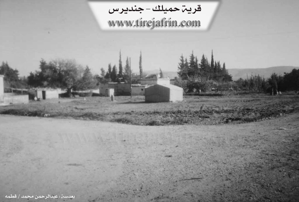
Photos

Basic Information about Ĥemêlkê
Source: Tirej Afrin
Etymology: Compound of two syllables: (Ĥem + lik). Ĥem is a diminutive of Mihemed in Turkish and Kurdish, and (îl / lik) has the meaning of the small group. The full name becomes: group of Hem
Foundation Date/Period: approximately 150 years
Other Landmarks: Wadî Sîlê, Mizreta Rifetiyê
Summaries
I. Summary from TirejAfrin Site (English) of Ĥemêlkê
Source: https://www.tirejafrin.com/site/kura%20afrin%20Cindires%20-%20hemelke.htm
It is stated in the book جبل الكرد (عفرين) دراسة جغرافية Çiyayê Kurmênc (Efrîn): A Geographical Study by د. محمد عبدو علي Dr. Mihemed Ebdo Elî: Hemîlk, Cemîl /540n 215m/:
Hemîlk: Compound of two syllables: (Ĥem + lik). Ĥem is a diminutive name of Mihemed in Turkish and Kurdish, and (îl / lik) has the meaning of the small group, so the full name becomes "group of Hem".
It is a small village located east of the town of Cindirês amidst fields of olive trees.
It is stated in the book عفرين .... نهرها وروابيها الخضراء Efrîn... Her River and Her Green Hills by the writer عبدالرحمن محمد Ebdulrehman Mihemed from the village of Qetme:
Hemîlk is a village in Çiyayê Kurmênc following the Cindirês district, Efrîn region, Heleb governorate. It is a small village located in the eastern plain of the town of Cindirês. Its soil is fertile alluvial. It is 6km away from the town of Cindirês towards the east.
It is bordered to the north by a fertile plain planted with olive trees, the Riya Efrîn-Cindirês (Efrîn-Cindirês road), and the village of Qîlê; to the south by a fertile plain planted with olive trees and grains and the village of Hacîler; to the west by Wadî Sîlê, a fertile plain, the Mizreta Rifetiyê (Rifetiyê farm), and the town of Cindirês; and to the east by a fertile plain planted with olive trees and the village of Remadiyê.
The number of its houses amounts to 15 houses and its age is approximately 150 years. Its old houses have flat wooden roofs and the modern ones are cement. It was previously composed of dwellings for the peasants of the Rifet and Heyder family of Al Emo.
An electricity network and a primary school are available in it, as well as a paved dirt road (not asphalted). The residents work in rain fed agriculture (grains, olives), and cotton and summer vegetables via irrigation from artesian wells, alongside raising sheep and cows.
Village Mukhtar: Ednan Hûto
Preparation and execution:
Director of Navenda Tirej Efrîn: Ebdulrehman Hacî Osman
20/12/2013
Sources:
- Book: جبل الكرد (عفرين) دراسة جغرافية Çiyayê Kurmênc (Efrîn): A Geographical Study by د. محمد عبدو علي Dr. Mihemed Ebdo Elî.
- Book: عفرين .... نهرها وروابيها الخضراء Efrîn... Her River and Her Green Hills by عبدالرحمن محمد Ebdulrehman Mihemed from the village of Qetme.
- Navenda Tirej Efrîn / Ebdulrehman Hacî Osman.
Foundation/Origin Information of Ĥemêlkê
It was previously housing for farmers of the Rifat and Haidar Al Ammo families.
Source: TirejAfrin Site
Possible Village Name Meaning of Ĥemêlkê
The name is composed of two parts: "Ḧem" (a diminutive of Mohammed in Turkish and Kurdish) and "êlik" (meaning the small group), so the full name means "Ḧem's group".
Source: TirejAfrin Site