General Information
Nahiya (Subdistrict)
Cindires
Also Known As
Hasirka, حسيركه, Ḧesîrkê
Photos
Basic Information about Ĥesîrkê
Source: Tirej Afrin
Etymology: Hesîr is the name or title of the site owner, and kê is a diminutive sign in Kurdish
Foundation Date/Period: Approx. 1978
Other Landmarks: Geliyê Hesîrkê
Summaries
I. Summary from TirejAfrin Site (English) of Ĥesîrkê
Source: https://www.tirejafrin.com/site/kura%20afrin%20Cindires%20-%20hesirke.htm
The following comes from the book جبل الكرد (عفرين) دراسة جغرافية Çiyayê Kurmênc (Efrîn): A Geographical Study by د. محمد عبدو علي Dr. Mihemed Ebdo Elî: Hesîrkê / 9km 350m /:
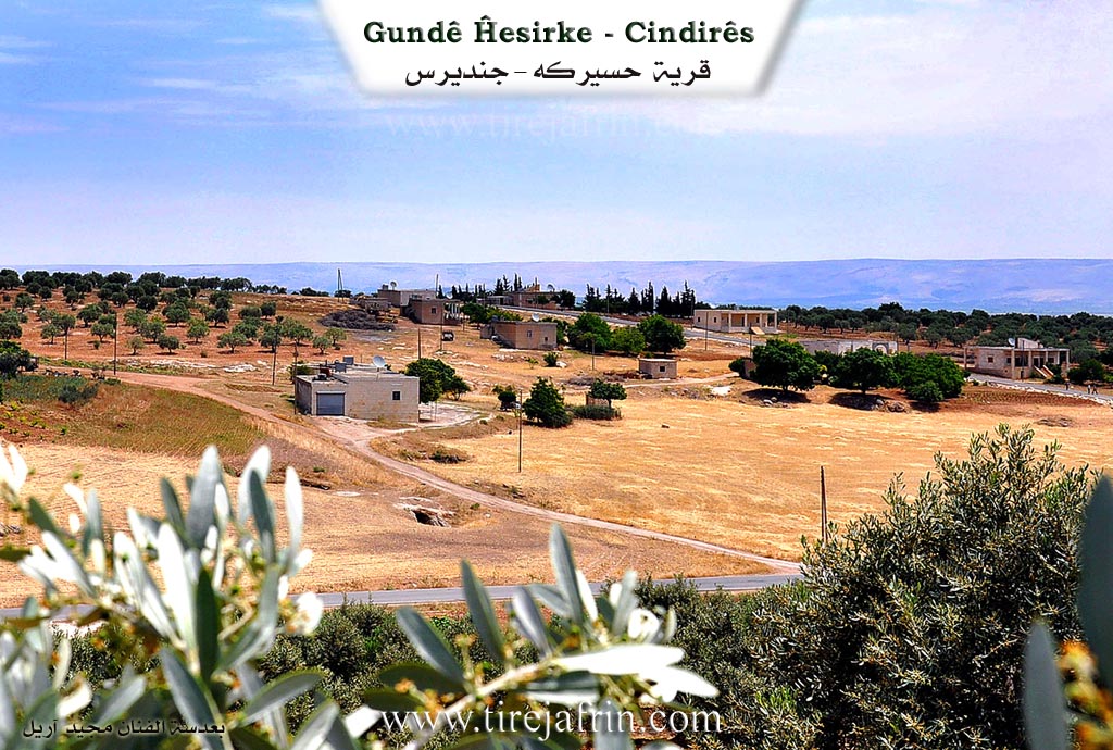
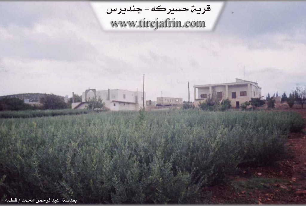
Hesîr is the name or title of the site owner, and kê is a diminutive sign in Kurdish. The site consists of several residential houses on both sides of Geliyê Hesîrkê (Hesîrkê valley), and adjacent to it are caves that were inhabited in ancient times.
The following comes from the book عفرين .... نهرها وروابيها الخضراء Efrîn... Her River and Her Green Hills by the writer عبدالرحمن محمد Ebdulrehman Mihemed from the village of Qetme:
Hesîrkê is a farm in Çiyayê Kurmênc that belongs to the village of Baflûr, Cindirês district, Efrîn region, Heleb governorate. It is a small farm located at the end of the southern slope of the Çiyayê Kurmênc massif. It is located 6km away from the town of Cindirês toward the northwest. To the south, it overlooks the fertile agricultural lands of the Deşta Cindirêsê (Cindirês plain).
It is bordered to the north by high mountain elevations and the village of Kefer Sefrê and the village of Baziyanlî. To the south, it is bounded by a plain planted with olive trees and the village of Baflûr. To the east, it is bounded by an agriculturally fertile plain planted with olive trees and the village of Kefer Sefrê and Zindikan. To the west, it is bounded by a slope, Geliyê Sîlê (Sîlê valley), the Riya Cindirês-Şiyê (Cindirês-Şiyê road), and the village of Merwanê Jorîn.
The number of its houses and its age reaches 35 years. Its houses are modern and concrete. An electricity network is available, as well as a paved dirt road 700m from the asphalt road. The residents drink water from artesian wells dug next to the houses. Most of its inhabitants work in the cultivation of grains and olives, alongside raising sheep and goats. It belongs administratively to the village of Baflûr.
Preparation and execution:
Director of the Tîrêj Efrîn website: Ebdulrehman Hacî Osman
20/12/2013
Sources:
- Book: جبل الكرد (عفرين) دراسة جغرافية Çiyayê Kurmênc (Efrîn): A Geographical Study by د. محمد عبدو علي Dr. Mihemed Ebdo Elî.
- Book: عفرين .... نهرها وروابيها الخضراء Efrîn... Her River and Her Green Hills by عبدالرحمن محمد Ebdulrehman Mihemed from the village of Qetme.
Foundation/Origin Information of Ĥesîrkê
It belongs administratively to Baflior village.
Source: TirejAfrin Site
Possible Village Name Meaning of Ĥesîrkê
The name comes from "Hasir," the name or title of the site owner, and "kê," a diminutive marker in Kurdish.
Source: TirejAfrin Site