General Information
Nahiya (Subdistrict)
Reco
Also Known As
Al-Husainiya, Hassan Kalkawi, Ĝesen, الحسينية, حسن كلكاوي

Photos
Basic Information about Ĥesen
Source: Tirej Afrin
Etymology: Named after its first inhabitant Hesen
Foundation Date/Period: Approximately 250 years ago
Hills: Çiyayê Etmana
Summaries
I. Summary from TirejAfrin Site (English) of Ĥesen
Source: https://www.tirejafrin.com/site/kura%20afrin%20%20%20Reco%20-%20hesan%20kalkawi.htm
It is stated in the book Çiyayê Kurmênc (Efrîn): A Geographical Study: Gund Hesen, Hesen Kelkawî, El Huseyniye, /554 inhabitants, 9km, 885m/:
It comes from the name of its first inhabitant Hesen.
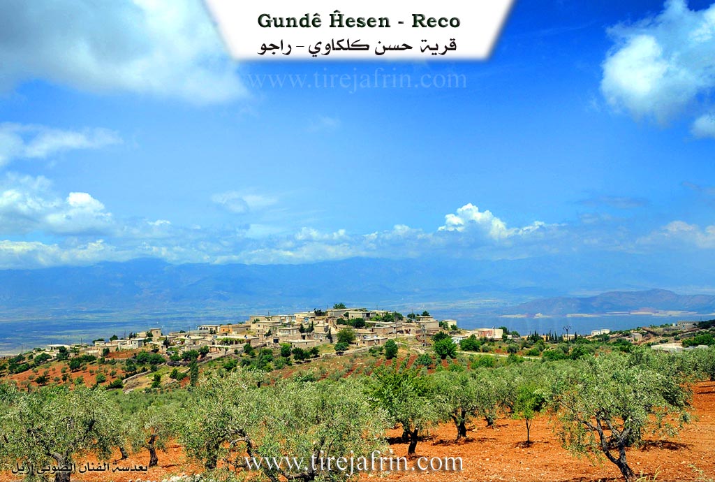
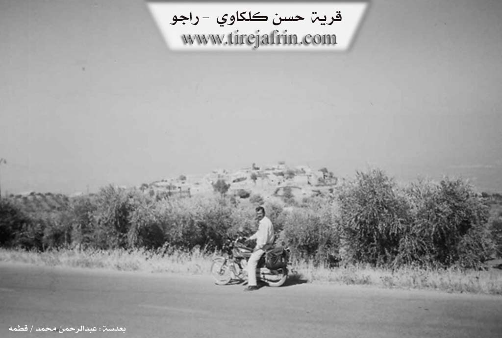
It is a small village located on the steep and forested western slopes of Çiyayê Etmana, and it overlooks the Deşta Amûqê from the western side.
It is stated in the book Efrîn... Her River and Her Green Hills: Hesen Kelkawî is a village in Çiyayê Kurmênc that follows the Reco district, Efrîn region, Heleb governorate. It is a small village located on the western slope of a limestone mountainous height in the northwestern part of the mentioned mountain. Its soil is clay like. It is 6 km away from the town of Reco towards the southwest.
It is bordered on the north by a harsh rocky slope, a valley, a mountain range, and the village of Hecîkanlî.
It is bordered on the south by a slope planted with olive trees and the village of Qûde Kuy and Emer Uşaxî.
It is bordered on the west by a harsh rocky mountain slope planted with oak, wild pistachio, and acorn trees, a deep watercourse at the bottom of the village, and the village of Kirî.
It is bordered on the east by a valley, a high mountain range, and the village of Derwîş Obasî.
The number of its houses reaches approximately 40 houses and its age is approximately 250 years. Its dwellings are made of stone and mud with flat roofs, along with a small number of modern cement houses. An electricity network, a primary school, and a paved road up to the middle of the village are available in it. The residents work in rain fed agriculture (olives, figs, vines) on the mountain slopes surrounding it, alongside raising sheep and goats. The village drinks from cisterns that collect rainwater in winter.
Village Mukhtar: Ismet Reşîd Emer
Sources of Information:
- Book: جبل الكرد (عفرين) دراسة جغرافية Çiyayê Kurmênc (Efrîn): A Geographical Study by د. محمد عبدو علي Dr. Mihemed Ebdo Elî.
- Book: عفرين .... نهرها وروابيها الخضراء Efrîn... Her River and Her Green Hills by عبدالرحمن محمد Ebdulrehman Mihemed from the village of Qetme.
- Studies of Navenda Tirej Soft / Ebdulrehman Hacî Osman.
- Some residents of the villages.
Preparation and execution: Manager of the website Tirej Efrîn: Ebdulrehman Hacî Osman 20/12/2013
Possible Village Name Meaning of Ĥesen
Named after its first resident, Hassan.
Source: TirejAfrin Site