General Information
Nahiya (Subdistrict)
Reco
Also Known As
Sheikh Mohammad, Şêx Mihemed, شيخ محمد, شيخ محمدلي
Tribes
Meydaniyat

Photos
Basic Information about Şêx Mihemed
Source: Tirej Afrin
Etymology: The village has two names: Kur, meaning "the barren/treeless place" (implying the Kurdish word kur/kûr), and Şêx Mihemed, which is the name of its shrine.
Foundation Date/Period: Approximately 250 years ago
Hills: Çiyayê Biêv, Qere Bêl
Shrines: Şêx Mihemed
Other Landmarks: Meydan Ekbez
Summaries
I. Summary from TirejAfrin Site (English) of Şêx Mihemed
Source: https://www.tirejafrin.com/site/kura%20afrin%20%20%20Reco%20-shx%20mihemed.htm
Şêx Mihemed Gund Kur Şêx Mihemedlî
According to the book Çiyayê Kurmênc (Efrîn): A Geographical Study:
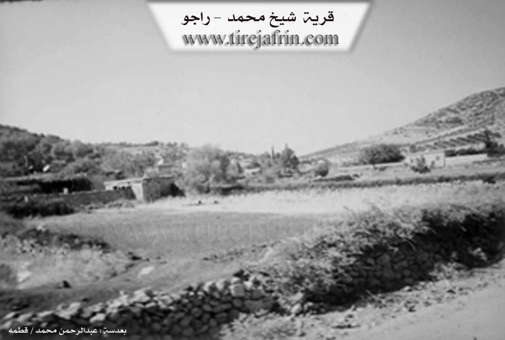
The village has two names: Kur, meaning "the barren" (or treeless), and Şêx Mihemed, which is the name of its shrine. It is a medium-sized village belonging to the Meydaniyat villages, located on the southeastern slope of the Çiyayê Biêv height. Vital statistics: 1023 inhabitants, 114 hectares of land, 13 km from the center, at an altitude of 750 m.
According to the book Efrîn... Her River and Her Green Hills regarding Şêx Mihemedlî:
It is a village in Çiyayê Kurmênc following the Reco subdistrict, Efrîn region, Heleb governorate. It is a medium-sized village situated in the northwestern part of the aforementioned mountain, on the southeastern slope of a limestone height. It overlooks the alluvial plain of Meydan Ekbez to the south.
The village is located 13 km northeast of the town of Reco. It is bordered to the north by the farm of Tepe Koy; to the south by a fertile agricultural plain followed by a high mountain chain called Qere Bêl and the village of Cîlanlî; to the east, 100 meters away, is the farm of Elwalîklî; and to the west, 1 km away, is the village of Simalik Reco.
The number of houses reaches approximately 70, and the village is about 250 years old according to the account of one of its residents. It is one of the seven Meydaniyat villages. Its old dwellings are made of stone and mud with flat wooden roofs, while modern cement buildings have expanded toward the south and west. The village features an electricity network and a drinking water network supplied by a state-owned well. A municipality has been established in the village, and it also contains a primary school, a middle school, a mosque, a telephone network, and an agricultural center.
A main street was established in the village, running from south to north up to the village of Tepe Koy (round trip). At the end of the street on the northern side, a "Victory Arch" was placed; it is considered one of the most beautiful arches in the Efrîn region and spans both sides of the highway.
The residents work in rain-fed agriculture (olives, vineyards) on an area of 114 hectares, and in the production of bastiq (fruit leather) from grape extract, alongside raising sheep and goats. The village connects to the subdistrict center via a winding asphalt road. Administratively, the farms of Tepe Koy and Elwalîklî are attached to it.
Notable holders of higher degrees in the village include: Ebdulrehman Ewnî (PhD in Civil Engineering, Russia).
The Mukhtar of the village is Şêx Mûs Bekir.
Sources:
- Book: جبل الكرد (عفرين) دراسة جغرافية Çiyayê Kurmênc (Efrîn): A Geographical Study by د. محمد عبدو علي Dr. Mihemed Ebdo Elî.
- Book: عفرين .... نهرها وروابيها الخضراء Efrîn... Her River and Her Green Hills by عبدالرحمن محمد Ebdulrehman Mihemed from the village of Qetme.
- Studies of Navenda Tirej Soft / Ebdulrehman Hacî Osman.
- Some residents of the villages.
Preparation and Execution:
- Manager of the Tirej Efrîn website: Ebdulrehman Hacî Osman
- 20/12/2013
Possible Village Name Meaning of Şêx Mihemed
It has two names: Kurê meaning "the rat's burrow," and "Sheikh Mohammad" which is the name of its shrine.
Source: TirejAfrin Site