General Information
Nahiya (Subdistrict)
Efrîn
Also Known As
Şêx Seydo, Şêx Seydo(Seydî), شيخ سيدو, شيخ سيدي, شيخ سيدي(شيخ سيدو)
Photos
Basic Information about Şêx Seydo
Source: Tirej Afrin
Foundation Date/Period: about 100 years
Other Landmarks: Çemê Efrînê
Summaries
I. Summary from TirejAfrin Site (English) of Şêx Seydo
Source: https://www.tirejafrin.com/site/kura%20afrin%20markaz-%20sex%20Shx%20Seydo.htm
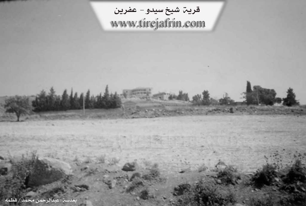
Şêx Sîdo is a farm in Çiyayê Kurmênc, belonging to the subdistrict of villages of Efrîn center, Heleb governorate. It is a small farm situated on a slope, with a wide and fertile plain in front of it.
It is bordered to the north by a mountainous elevation planted with olive trees and the village of Qestel Kişk and Qere Tepê, to the south by a fertile plain and Çemê Efrînê and the city, to the east by a mountainous elevation and the village of Erşqîbar, and to the west by the village of Cumkê and the valley of Çemê Efrînê and the village of Tel Tewîl.
The number of its houses reaches about 5 houses only, and its age is about 100 years. Its old houses are stone and mud with flat wooden roofs, and the modern ones are cement. An electricity network is available there, as well as a paved dirt road. The residents work in growing grains and olives, and it belongs to the village of Cumkê.
Sources
Book: عفرين .... نهرها وروابيها الخضراء Efrîn... Her River and Her Green Hills by عبدالرحمن محمد Ebdulrehman Mihemed from the village of Qetme.
Preparation and execution
Director of Tirej Efrîn site: Ebdulrehman Hacî Osman
20/12/2013