General Information
Nahiya (Subdistrict)
Efrîn
Also Known As
Mezre'ê, Xirabî Şera, شوارغة الأرز, Mezre’ê, Şewarxa, شوارغة الجوز, مزرعة, خرابه شرا, شاش ترا
Families, Clans, etc.
el-Hesanî, Şêx Ebdulhenan
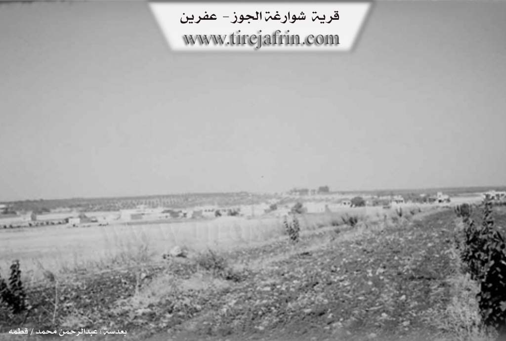
Photos
Basic Information about Şewarxa
Source: Tirej Afrin
Etymology: The name is believed to be Arabic
Foundation Date/Period: Early 20th century
Hills: Çiyayê Lêlûn, Seman
Summaries
I. Summary from TirejAfrin Site (English) of Şewarxa
Source: https://www.tirejafrin.com/site/kura%20afrin%20markaz-%20shwarxa.htm
The following text appears in the book جبل الكرد (عفرين) دراسة جغرافية Çiyayê Kurmênc (Efrîn): A Geographical Study by د. محمد عبدو علي Dr. Mihemed Ebdo Elî: Mezre', Mezra'e, Şewarxe el-Coz /715 inhabitants - 17km - 590m/: The name is believed to be Arabic. It is a small village that formerly belonged to the Şêx Ebdulhenan family. It was sold in the beginning of the twentieth century to some residents of Heleb, then later owned by its new residents. The language of its inhabitants is Arabic.
According to the book عفرين .... نهرها وروابيها الخضراء Efrîn... Her River and Her Green Hills by the writer عبدالرحمن محمد Ebdulrehman Mihemed from the village of Qetme, concerning Şewarxe el-Coz: It is a village in Çiyayê Lêlûn and Seman, administratively following the center sub-district and region of Efrîn, Heleb governorate. It is a small village situated in a fertile plain of the eastern Seman mountain range and Çiyayê Lêlûn. It is located 13km from the city of Efrîn towards the northeast. It is bordered to the north by the village of Me'erse Xetîb, to the west by the village of Kefer Mêz, to the south by the town of Meryemîn at a distance of 1km, and to the east by a wide plain of olive trees and the village of Malikiyê.
The number of houses reaches approximately 50, and the age of the village is about 100 years. Its houses are made of stone and mud with wooden roofs, while modern ones are cement, spreading towards the north and south alongside the road. An electricity network is available, and water is taken from a spring in the nearby village of Malikiyê. The school is shared with Me'erse Xetîb.
A road connecting to neighboring villages passes through its center, and it contains a modern olive press. Its houses are built from stones and reinforced concrete of recent origin. The main source of income is sheep farming and the cultivation of grains, olives, vines, and almonds in its fertile lands and soil.
Village Mukhtar: Mihemed Mihemed el-Hesanî
Sources:
- Book: جبل الكرد (عفرين) دراسة جغرافية Çiyayê Kurmênc (Efrîn): A Geographical Study by د. محمد عبدو علي Dr. Mihemed Ebdo Elî.
- Book: عفرين .... نهرها وروابيها الخضراء Efrîn... Her River and Her Green Hills by عبدالرحمن محمد Ebdulrehman Mihemed from the village of Qetme.
Preparation and execution:
- Manager of Tirej Efrîn site: Ebdulrehman Hacî Osman
- 20/12/2013
Foundation/Origin Information of Şewarxa
A small village that formerly belonged to the Sheikh Abdul Hanan family, and was sold in the early 20th century to some residents of Aleppo, then owned by its new inhabitants.
Source: TirejAfrin Site
Possible Village Name Meaning of Şewarxa
It is believed that the name Mezre'ê is Arabic.
Source: TirejAfrin Site