General Information
Nahiya (Subdistrict)
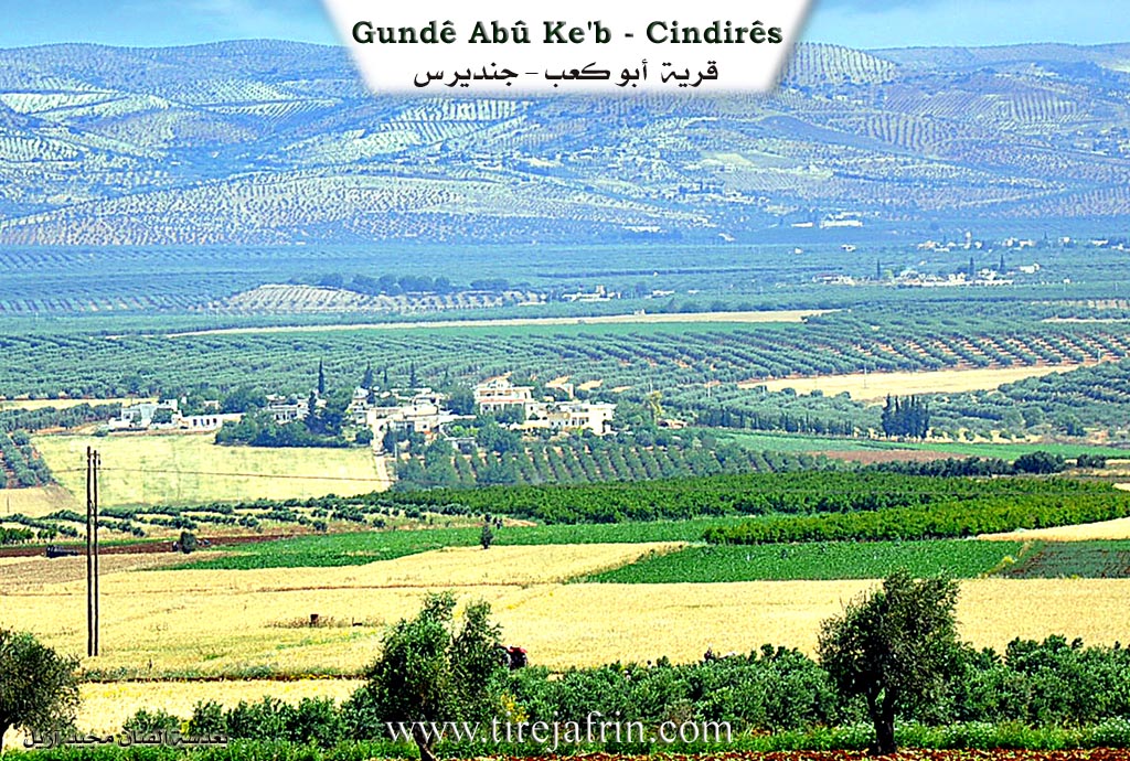
Cindires
Also Known As
Abu Ka'b Western, Abû ke'bê Xerbî, Ebû Ke'ibê, أبو كعب غربي

Photos
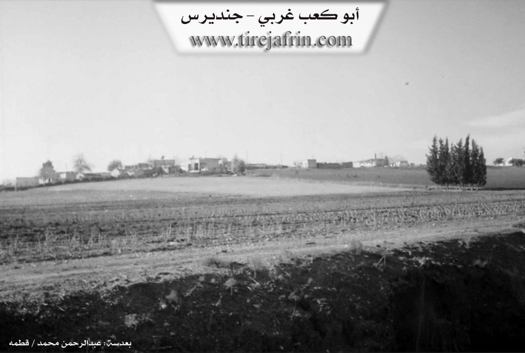
Top: "Abu Ka'b West - Jindires" and "www.tirejafrin.com"
Basic Information about Abû Ke'bê Xerbî
Source: Tirej Afrin
Etymology: Named after the Êzîdî shrine of Ebû Keib found there.
Foundation Date/Period: 50 years
Shrines: Ebû Keib
Other Landmarks: Çemê Efrînê
Summaries
I. Summary from TirejAfrin Site (English) of Abû Ke'bê Xerbî
Source: https://www.tirejafrin.com/site/kura%20afrin%20Cindires%20-%20abo%20kaeb%20xarbi.htm
It is stated in the book جبل الكرد (عفرين) دراسة جغرافية Çiyayê Kurmênc (Efrîn): A Geographical Study by د. محمد عبدو علي Dr. Mihemed Ebdo Elî:
Eb Ke'ib / 225 inhabitants 180m altitude 5km /:
Naming is based on the Êzîdî shrine of Ebû Keib found there.
It consists of two parts. Western: Consists of about twenty families. Eastern: Contains one family.
It is stated in the book عفرين .... نهرها وروابيها الخضراء Efrîn... Her River and Her Green Hills by the writer عبدالرحمن محمد Ebdulrehman Mihemed from the village of Qetme:
Eb Ke'ibê Rojava (Western Eb Ke'ib): A farm in the valley of Çemê Efrînê, belonging to the Cindirês district, Efrîn region, Heleb governorate. It is a small farm situated on a fertile agricultural plateau on the right bank of Çemê Efrînê. It is about 10km away from the town of Cindirês.
It is bordered to the north by a fertile agricultural plain, a seasonal stream planted with olive trees, and the village of /Remadiyê/. To the south, at a distance of 500m, is the valley of Çemê Efrînê and the village of /Celemê/ in the far south. To the west is a fertile agricultural plain planted with olive trees and the village of /Hacîler/. To the east is a fertile agricultural plain, the valley of Çemê Efrînê, the village of /Eb Ke'ibê Rojhilat/ (Eastern Eb Ke'ib), /Zelaqê/ West, and the shrine of Ebû Keib at a distance of 1km.
The number of its houses reaches 35 houses and its age is about 50 years. It is a modern village; its houses are of cement stone. Only a prepared dirt road that is not asphalted is available in it. The village drinks from artesian wells located next to the houses. Its residents work in the cultivation of cereals and olives, both rainfed and irrigated by pumping from Çemê Efrînê, as well as summer vegetables, cotton, and tobacco, alongside raising sheep, cows, and goats.
Preparation and Execution:
Manager of the Tirej Efrîn site: Ebdulrehman Hacî Osman
20/12/2013
Sources:
- Book: جبل الكرد (عفرين) دراسة جغرافية Çiyayê Kurmênc (Efrîn): A Geographical Study by د. محمد عبدو علي Dr. Mihemed Ebdo Elî.
- Book: عفرين .... نهرها وروابيها الخضراء Efrîn... Her River and Her Green Hills by عبدالرحمن محمد Ebdulrehman Mihemed from the village of Qetme.
Foundation/Origin Information of Abû Ke'bê Xerbî
It is a village of recent era.
Source: TirejAfrin Site
Possible Village Name Meaning of Abû Ke'bê Xerbî
Named after the shrine of "أبو كعب" (Abu Ka'b) the Yazidi located there.
Source: TirejAfrin Site