General Information
Nahiya (Subdistrict)
Reco
Also Known As
Banîk, Banîkê, Bolîkê, Bonîkê, العالية (AR translation), العليا, بانيك, بونيكه

Photos
Basic Information about Banîkê
Source: Tirej Afrin
Etymology: Banîk: A diminutive name meaning "the high one" in Kurdish (ban + îk), and the village is located on a high mountain spur.
Foundation Date/Period: 125 years
Wells: water well of Reco
Other Landmarks: valley of Sarisn
Summaries
I. Summary from TirejAfrin Site (English) of Banîkê
Source: https://www.tirejafrin.com/site/kura%20afrin%20%20%20Reco%20-Banike.htm
It is stated in the book Çiyayê Kurmênc (Efrîn): A Geographical Study: Bank, Banîk, Al-Aliyah Al-Ulya /560 inhabitants, 3km, 660m/:
Banîk: A diminutive name meaning "the high one" in Kurdish (ban + îk), and the village is located on a high mountain spur. The Arabized name is a translation from Kurdish.
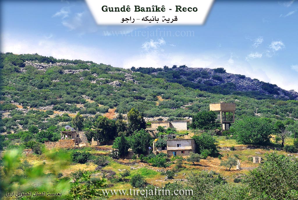
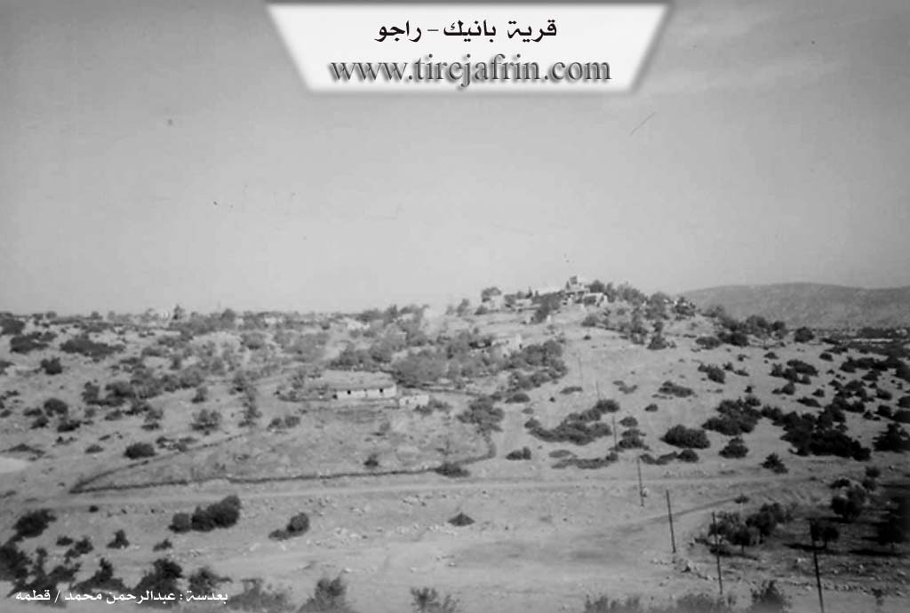
It is a small village consisting of a few residential houses, overlooking the valley of Sarisn to the north.
It is stated in the book Efrîn... Her River and Her Green Hills: Banîk: A village in Çiyayê Kurmênc following the sub district of Reco, area of Efrîn, governorate of Heleb. It is a small farm located in the middle section of the mentioned mountain, on the northeastern slope of a limestone height. Its soil is clay, and it slopes down from three sides: eastern, northern, and southern. As for the western side, it is a high mountain chain planted with forest trees (oak, terebinth, acorn).
The number of its houses reaches about 15 houses, and its age is 125 years. Its old residences are stone and mud with flat wooden roofs, and the modern ones are cement. An electricity network is available in it, and the village drinks from the water well of Reco. It connects with the sub district via a leveled dirt road that is not paved. The residents work in rain fed agriculture (olives, vines, almonds) alongside raising sheep and goats.
Village Mukhtar: Hesen Doyko
Sources of Information:
- Book: جبل الكرد (عفرين) دراسة جغرافية Çiyayê Kurmênc (Efrîn): A Geographical Study by د. محمد عبدو علي Dr. Mihemed Ebdo Elî.
- Book: عفرين .... نهرها وروابيها الخضراء Efrîn... Her River and Her Green Hills by عبدالرحمن محمد Ebdulrehman Mihemed from the village of Qetme.
- Studies of Navenda Tirej Soft / Ebdulrehman Hacî Osman.
- Some residents of the villages.
Preparation and execution: Director of the Tirej Efrîn site: Ebdulrehman Hacî Osman 20/12/2013
Possible Village Name Meaning of Banîkê
Banîk: A diminutive name meaning "the elevated one" in Kurdish, and the village is located on a high mountainous ridge. The Arabic name is a translation from Kurdish.
Source: TirejAfrin Site