General Information
Nahiya (Subdistrict)
Mabeta
Also Known As
Birka, Birqah, Qashlah, بركة, قشلة
Tribes
Birka
Families, Clans, etc.
Menan Resûlo
Photos
Basic Information about Birka
Source: Tirej Afrin
Etymology: Birka is the name of a Kurdish tribe found in Botan; the Arabized name Berke has no connection to the Kurdish origin
Foundation Date/Period: Approximately 250 years ago
Hills: Xastiya
Other Landmarks: Geliyê Sîlê
Summaries
I. Summary from TirejAfrin Site (English) of Birka
Source: https://www.tirejafrin.com/site/kura%20afrin%20%20%20mebetli%20-%20birka.htm
It is stated in the book جبل الكرد (عفرين) دراسة جغرافية Çiyayê Kurmênc (Efrîn): A Geographical Study by د. محمد عبدو علي Dr. Mihemed Ebdo Elî: Birka, Qişle Birka, Berke / 580m.
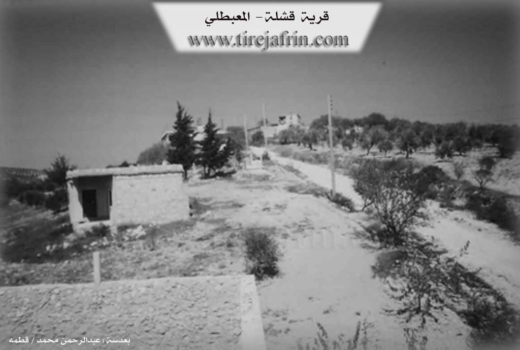
Birka: The name of a Kurdish tribe found in Botan / Lerch, p. 48. The Arabized name "Berke" has no connection to its Kurdish origin. It is a small village located on the southern slopes of Mount Xastiya.
It is stated in the book عفرين .... نهرها وروابيها الخضراء Efrîn... Her River and Her Green Hills by the writer عبدالرحمن محمد Ebdulrehman Mihemed from the village of Qetme: Qişle is a village in Çiyayê Kurmênc, administratively belonging to the district of Mabeta, Efrîn region, Heleb governorate.
It is a small village situated on a mountainous rise in the central section of the mentioned mountain, on the western slope of a limestone plateau, and its soil is clay. It is 13km away from the town of Mabeta in the western direction. It is bordered to the north by mountainous heights planted with olive trees and the village of Xaziyanlî Foqanî, and to the south by a slope and the village of Hemo Raco and Elî Caro at a distance of 1km, and to the west by a slope and the valley of Sîlê planted with olive trees and the village of Mesere Ceq.
The number of its houses is about 10 houses and its age is about 250 years. Its houses are of stone and mud with flat wooden roofs, while the modern ones are of stone and cement. An electricity network is available in it, and the village drinks from cisterns in which rainwater is collected in winter. A dirt mountain road connects it to the main road up to the center of the village. The residents work in rain fed agriculture on an area of 100 hectares of olives, vines, and grains, alongside raising sheep and goats. Among its most important families is the Menan Resûlo family, who were the first to inhabit the village.
Sources
Book: جبل الكرد (عفرين) دراسة جغرافية Çiyayê Kurmênc (Efrîn): A Geographical Study by د. محمد عبدو علي Dr. Mihemed Ebdo Elî.
Book: عفرين .... نهرها وروابيها الخضراء Efrîn... Her River and Her Green Hills by عبدالرحمن محمد Ebdulrehman Mihemed from the village of Qetme.
Preparation and Execution:
Director of the Tirej Efrîn site: Ebdulrehman Hacî Osman
20/12/2013
Foundation/Origin Information of Birka
Among its most important families: Manan Rasulo family, the first to inhabit the village.
Source: TirejAfrin Site
Possible Village Name Meaning of Birka
Birka: Name of a Kurdish tribe. The Arabic name "Birqah" has no connection to its Kurdish origin.
Source: TirejAfrin Site