General Information
Nahiya (Subdistrict)
Efrîn
Also Known As
Bozika, Bozikeh, Bozikê, بوزيكه
Tribes
Bozîkan
Families, Clans, etc.
Berazî
Photos
Basic Information about Bozikê
Source: Tirej Afrin
Etymology: Named after one of its first inhabitants. Also, Al-Istakhri mentioned a Kurdish tribe named Bozîkan, and Bozîk is also the name of the mountain on which the village is built.
Foundation Date/Period: 75 years
Hills: Çiyayê Bozîke
Ruins: Perestgeha Til Eyn Dara
Other Landmarks: Çemê Efrîn
Summaries
I. Summary from TirejAfrin Site (English) of Bozikê
Source: https://www.tirejafrin.com/site/kura%20afrin%20markaz-bozika.htm
The following is stated in the book جبل الكرد (عفرين) دراسة جغرافية Çiyayê Kurmênc (Efrîn): A Geographical Study by د. محمد عبدو علي Dr. Mihemed Ebdo Elî:
Bozîk, Bozîke / 7km - 375m /:
Bozîk: The name of one of its first inhabitants. Also, El-Istexrî /died 951 AD/ mentioned a Kurdish tribe named Bozîkan. Bozîk is also the name of the mountain on which the village was established.
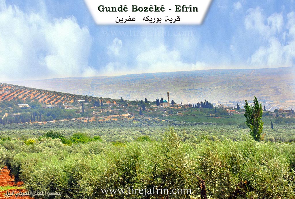
It is a small village consisting of several residential houses, located on the northwestern peak of Mount Bozîke, which stands in the middle of the Cûme plain. Its northern, western, and southern edges are vast plains, and to the east is the course of the Çemê Efrîn. Many of its inhabitants have abandoned it.
The following is stated in the book عفرين .... نهرها وروابيها الخضراء Efrîn... Her River and Her Green Hills by the writer عبدالرحمن محمد Ebdulrehman Mihemed from the village of Qetme:
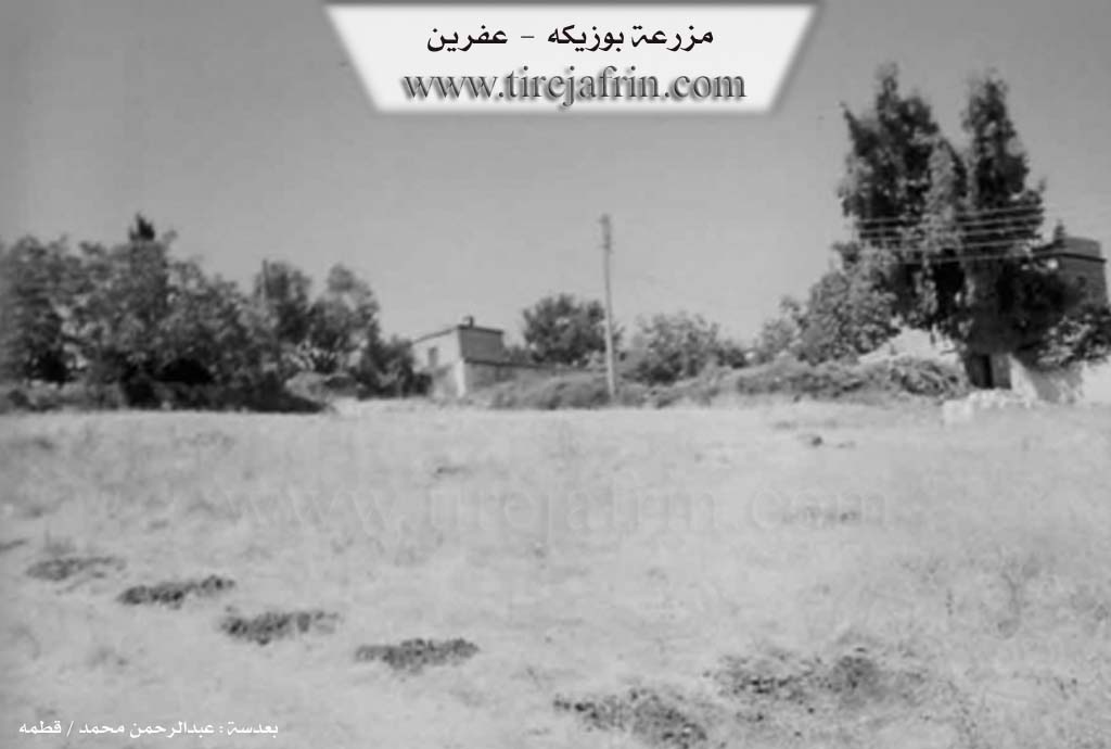
Bozîke: A farm in Çiyayê Kurmênc, belonging to the sub-district of villages in the Efrîn region. It is a farm administratively attached to the village of Kewkebe in the Heleb governorate.
It is a farm located on a high mountainous elevation surrounded by olive trees from all sides. It is bordered to the north by a steep slope and the village of Betîte at a distance of 500m. To the south, it is bordered by a rise of black stones that separates it from the village of Kewkebe and olive trees. To the west, there is a mountainous rise planted with olives, a fertile plain, the village of Kefer Betre and Tilelf, and the Riya Efrîn-Cindirês. To the east, there is a mountainous rise and a slope planted with olive trees, the course of the Çemê Efrîn at the bottom of the valley, the archaeological Perestgeha Til Eyn Dara, and the village of Eyn Dara.
The number of its houses reaches 10 houses, and its age is 75 years. Its modern houses are made of stone and reinforced concrete. An electricity network is available, as well as a school shared with the village of Betîte. The road leading to it is a leveled dirt road. The residents drink from artesian wells and water pools. Its inhabitants work in the cultivation of olives, vines, and some other fruit trees, as well as sheep rearing.
The residents of this village originated from the Eyn el-Ereb region; they came to Kewkebe 100 years ago and then to this farm. They are from the Berazî family from Eyn el-Ereb.
Preparation and Execution:
Director of the Tirej Efrîn website: Ebdulrehman Hacî Osman
20/12/2013
Sources:
- Book: جبل الكرد (عفرين) دراسة جغرافية Çiyayê Kurmênc (Efrîn): A Geographical Study by د. محمد عبدو علي Dr. Mihemed Ebdo Elî.
- Book: عفرين .... نهرها وروابيها الخضراء Efrîn... Her River and Her Green Hills by عبدالرحمن محمد Ebdulrehman Mihemed from the village of Qetme.
Foundation/Origin Information of Bozikê
The inhabitants of this village originally came from the Ayn al-Arab region, coming to it about 100 years ago to Kaukabah then to this farm, and they are from the Barazi family from Ayn al-Arab.
Source: TirejAfrin Site
Possible Village Name Meaning of Bozikê
Bozik: The name of one of its first inhabitants. As mentioned by al-Istakhri, a Kurdish tribe named Bozikan. And Bozik is the name of the mountain on which the village was also built.
Source: TirejAfrin Site