General Information
Nahiya (Subdistrict)
Efrîn
Also Known As
Al-Jamila, Cûmkê, Jumka, الجميلة, جومكة, جومكه
Families, Clans, etc.
Gubarî, Şêx Sîdo

Photos
Basic Information about Cûmkê
Source: Tirej Afrin
Etymology: Named after the Cûme plain
Foundation Date/Period: Approximately 150 years ago
Springs: Kefer Cenê
Ruins: Şêx Sîdî, Şêx Sîdo
Other Landmarks: Çemê Efrînê
Summaries
I. Summary from TirejAfrin Site (English) of Cûmkê
Source: https://www.tirejafrin.com/site/kura%20afrin%20markaz-%20cumke.htm
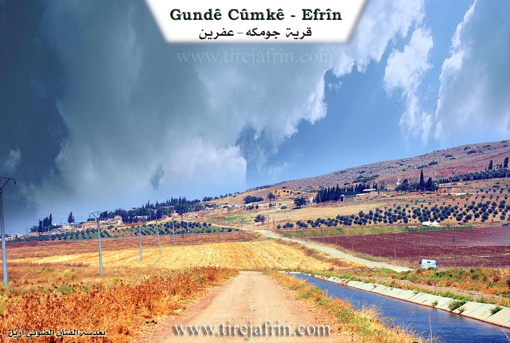
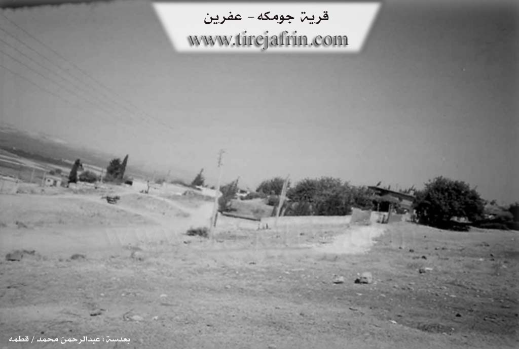
Cumke (Al-Jamila)
According to the book Çiyayê Kurmênc (Efrîn): A Geographical Study by Dr. Mihemed Ebdo Elî: Cumke, Al-Jamila / 479 inhabitants - 407 hectares - 3 km - 335 m /:
Its name derives from the plain of Cûme. The Arabicized name "Al-Jamila" has no connection to its ancient name.
It is a small village consisting of several houses, situated on the southern slope of a volcanic plateau overlooking the Efrîn river. It is one of the villages of the Gubarî family, and they own most of its agricultural lands. A railway line passes through it. Adjacent to it was the village of Şêx Sîdî or Şêx Sîdo, which is now ruins.
According to the book Efrîn... Her River and Her Green Hills by the writer Ebdulrehman Mihemed from the village of Qetme:
Cumke is a village in Çiyayê Kurmênc that administratively follows the villages of the Efrîn center sub district, Aleppo governorate. It is a small village located on a mountain slope with a vast plain in front of it. It is bordered to the north by a mountainous rise planted with olive trees and the villages of Qeretepe and Qestel Kîşk; to the south by a slope, a wide plain, and the town of Efrîn; to the east by an agricultural plain, the Riya Heleb-Efrîn (Heleb-Efrîn road), and the village of Erşqîbar; and to the west by a slope, the plain of the Efrîn river, and the village of Til Tewîl.
The number of houses reaches approximately 15. Its age is about 150 years. Its old houses are made of stone and mud with flat wooden roofs, while the modern ones are made of stone and reinforced concrete. An electricity network is available, as well as drinking water taken from the Kefer Cenê spring via a water network.
Residents work in rain fed grain cultivation, and irrigated cultivation of cotton and summer vegetables from the Efrîn river, in addition to raising livestock. A graded dirt road connects it to the main road, and the Xeta Hesinî ya Meydan Ekbez (Meydan Ekbez railway line) passes beside the village. Among its most important families is the Şêx Sîdo family.
Village Mukhtar: Mihemed Henîf Şêxo
Sources
Book: جبل الكرد (عفرين) دراسة جغرافية Çiyayê Kurmênc (Efrîn): A Geographical Study by د. محمد عبدو علي Dr. Mihemed Ebdo Elî.
Book: عفرين .... نهرها وروابيها الخضراء Efrîn... Her River and Her Green Hills by عبدالرحمن محمد Ebdulrehman Mihemed from the village of Qetme.
Preparation and Execution:
Navenda Tirej Efrîn Director: Ebdulrehman Hacî Osman
20/12/2013
Foundation/Origin Information of Cûmkê
It is one of the villages of the Al-Ghabari family, who own most of its agricultural lands.
Source: TirejAfrin Site
Possible Village Name Meaning of Cûmkê
Its name comes from the plain Cûmê. The Arabized name "Al-Jamila" has no connection to its ancient name.
Source: TirejAfrin Site