General Information
Nahiya (Subdistrict)
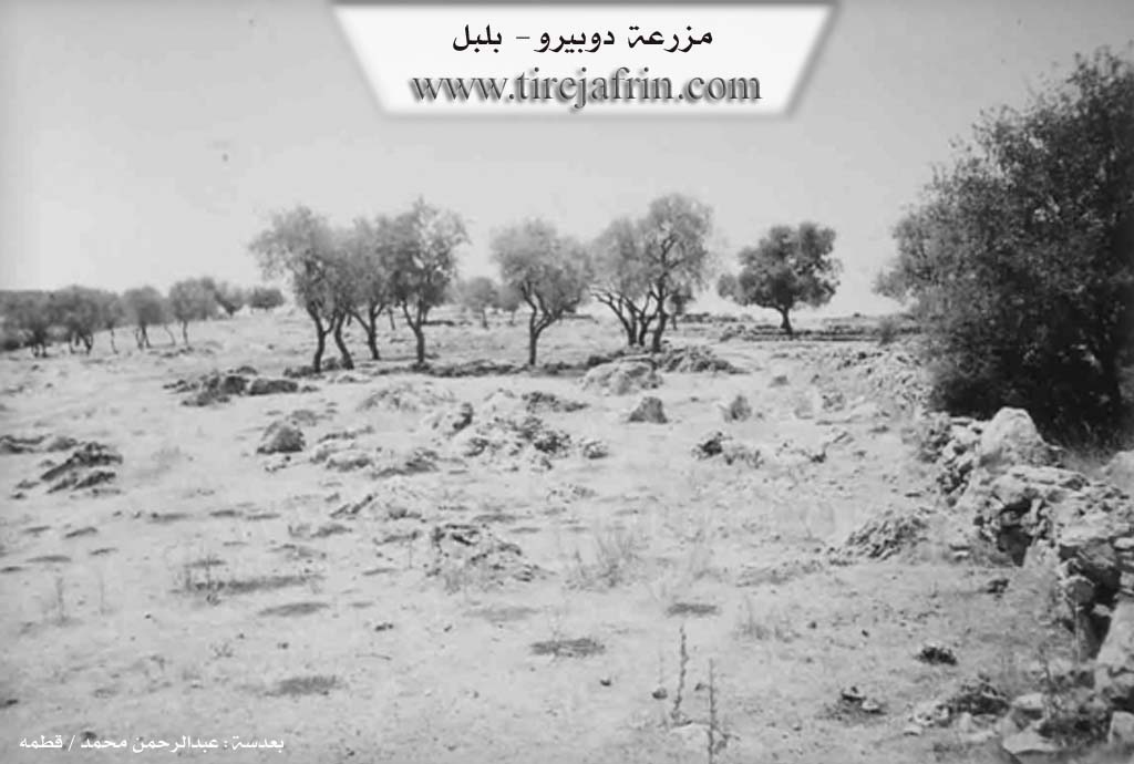
Bilbilê
Also Known As
دوبيرو
Photos
Basic Information about Dupîra
Source: Tirej Afrin
Etymology: The literal Kurdish meaning of the name is: the two old women (du + pîra)
Foundation Date/Period: Approximately 200 years before the village was abandoned
Summaries
I. Summary from TirejAfrin Site (English) of Dupîra
Source: https://www.tirejafrin.com/site/kura%20afrin%20%20%20bilbile%20-%20dobero.htm
It is stated in the book Çiyayê Kurmênc (Efrîn): A Geographical Study: Dupra, Dopîro, Dipîr /159 inhabitants, 820m altitude/:
Dopîra: Meaning "the two old women" (du + pîra) in Kurdish.
It is a small village located at the end of the northeastern slope of Çiyayê Simaq. It is located 1km south of the village of Xidriyanlî. It is divided into two parts: Dipîr Foqanî and Dipîr Tehtanî, and the distance between them is approximately 400m.
It is stated in the book Efrîn... Her River and Her Green Hills: Dopîro is a village in Çiyayê Kurmênc following the district of Bilbil, Efrîn area, Heleb province. It is a small village located on the northeastern slope of Eastern Çiyayê Simaq in the northern part of the mentioned mountain mass. It is located 10km southwest of the town of Bilbil.
It is bordered to the north by a mountain range and the village of Xidriyanlî; to the south by a high and rugged mountain range and the village of Berkaşlî; to the west by a mountain range and the village of Çolaqlî and Haziro; and to the east by a high mountain range, several watercourses, and the village of Şerqiyanlî and Okanlî.
Its age prior to the ruin of the village was approximately 200 years. Its dwellings were old, made of stone and mud with wooden roofs. Currently, it is devoid of inhabitants due to the ruggedness of its desolate mountainous lands and the inability to live there. They were displaced to Qestel Xidriyanlî or to large cities. Previously, most of its inhabitants worked in grain cultivation alongside sheep breeding.
During my tour of the mentioned village on 21/7/2006, I did not find any trace of houses or habitation; it consists of desolate and rocky land unfit for agriculture.
Sources of Information:
- Book: جبل الكرد ( عفرين ) دراسة جغرافية Çiyayê Kurmênc (Efrîn): A Geographical Study by للدكتور محمد عبدو علي Dr. Mihemed Ebdo Elî.
- Book: عفرين .... نهرها وروابيها الخضراء Efrîn... Her River and Her Green Hills by للكاتب عبدالرحمن محمد Ebdulrehman Mihemed from the village of Qetme.
- Studies of Navenda Tirej Soft / Ebdulrehman Hacî Osman.
- Some residents of the villages.
Preparation and execution: Manager of the Tirej Efrîn site: Ebdulrehman Hacî Osman 20/12/2013