General Information
Nahiya (Subdistrict)
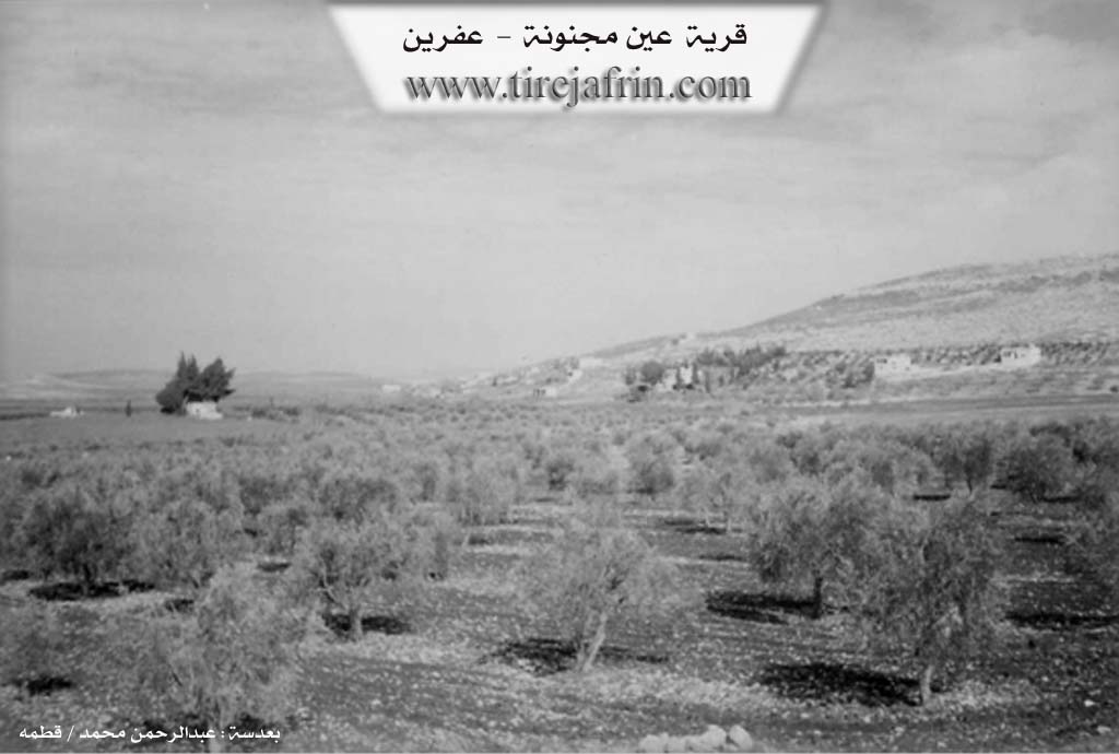
Efrîn
Also Known As
Ayn Majnoun, عين مجنون
Photos
Basic Information about Ein Majnoun
Source: Tirej Afrin
Springs: Kaniya Eyn Mecnûn
Summaries
I. Summary from TirejAfrin Site (English) of Ein Majnoun
Source: https://www.tirejafrin.com/site/kura%20afrin%20markaz-en%20majnoun.htm
It is stated in the book: عفرين .... نهرها وروابيها الخضراء Efrîn... Her River and Her Green Hills by the writer عبدالرحمن محمد Ebdulrehman Mihemed from the village of Qetme:
Eyn Mecnûn: A farm in Geliyê Efrîn, belonging to the Merkez sub-district, Efrîn region, Heleb governorate. It is a small farm located east of the village of Îska and follows the village of Îska administratively.
It is bordered to the north by the Gezawiyê plain, Şêx el-Dêr, and Çemê Efrîn; to the south by the western Çiyayê Simaan chain; to the west by a fertile agricultural plain and the village of Îska; and to the east, at a close distance, the village of Şêx el-Dêr.
It is about 1km away from the village of Îska. The number of its houses amounts to about (10) houses. An electricity network is connected to it. In the middle of the village, from the western side, there is a small water spring named Kaniya Eyn Mecnûn. The Riya Daret Ize-Heleb (Daret Ize-Heleb road) passes near it.
Sources
Book: عفرين .... نهرها وروابيها الخضراء Efrîn... Her River and Her Green Hills by عبدالرحمن محمد Ebdulrehman Mihemed from the village of Qetme.
Preparation and execution:
Manager of the Tirej Efrîn site: Ebdulrehman Hacî Osman
20/12/2013
I. Summary from TirejAfrin Site (English) of Ayn Majnoun
According to the book Afrin... Her River and Green Hills by writer Abdulrahman Mohammed from Qatma village:
عين مجنون: A farm in Afrin Valley, belonging to the Central District, Afrin, Aleppo Governorate.
It is a small farm located east of Iskan village and administratively follows Iskan village. It is bordered to the north by the plain of Ghazawiyah and Sheikh al-Deir and the Afrin River, and to the south by the western chain of Simaan Mountain, and to the west by the fertile agricultural plain and Iskan village, and to the east at a close distance Sheikh al-Deir village. It is about 1 km away from Iskan village. The number of its houses is about (10) houses. It is connected to an electricity network, and in the center of the village there is a spring from the western elevation called the Ayn Majnoun spring. A paved road to Dar Taazza and Aleppo passes near it.