General Information
Nahiya (Subdistrict)
Efrîn
Also Known As
عين ديبة
Map and Location
Coordinates: 36.551266, 36.8363
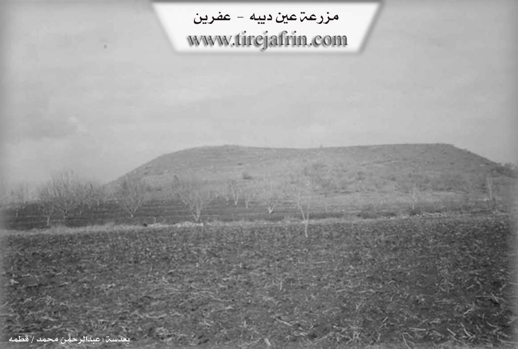
Photos
Summaries
I. Summary from TirejAfrin Site (English) of Endîbê'
Source: https://www.tirejafrin.com/site/kura%20afrin%20markaz-en%20debah.htm
It is stated in the book: عفرين .... نهرها وروابيها الخضراء Efrîn... Her River and Her Green Hills by the writer عبدالرحمن محمد Ebdulrehman Mihemed from the village of Qetme:
Eyn Dîbê: A farm in Çiyayê Kurmênc belonging to the sub district of the villages of the center of Efrîn, governorate of Heleb. It consists of a farm or housing for the peasants of the Aghas of Sîdî Mîmî, situated around an archeological hill.
It is bordered to the north by a plain and the village of Eyn Hecerê Mezin; to the south by an agricultural plain and Zeydiyê; to the west by a plain planted with olive trees and the village of Cewîq; and to the east by a fertile plain and the village of Estaro.
Currently, it consists of a building devoid of residents due to the migration of the population from old times to Heleb and Efrîn. It is a deserted village, and it follows the village of Cewîq.
Sources:
- Book: عفرين .... نهرها وروابيها الخضراء Efrîn... Her River and Her Green Hills by عبدالرحمن محمد Ebdulrehman Mihemed.
Preparation and execution:
- Manager of Tirej Efrîn site: Ebdulrehman Hacî Osman
- 20/12/2013