General Information
Nahiya (Subdistrict)
Cindires
Photos
Summaries
I. Summary from TirejAfrin Site (English) of Fîlik
From the book: Jabal al-Kurd (Afrin): A Geographical Study by Dr. Muhammad Abdo Ali:
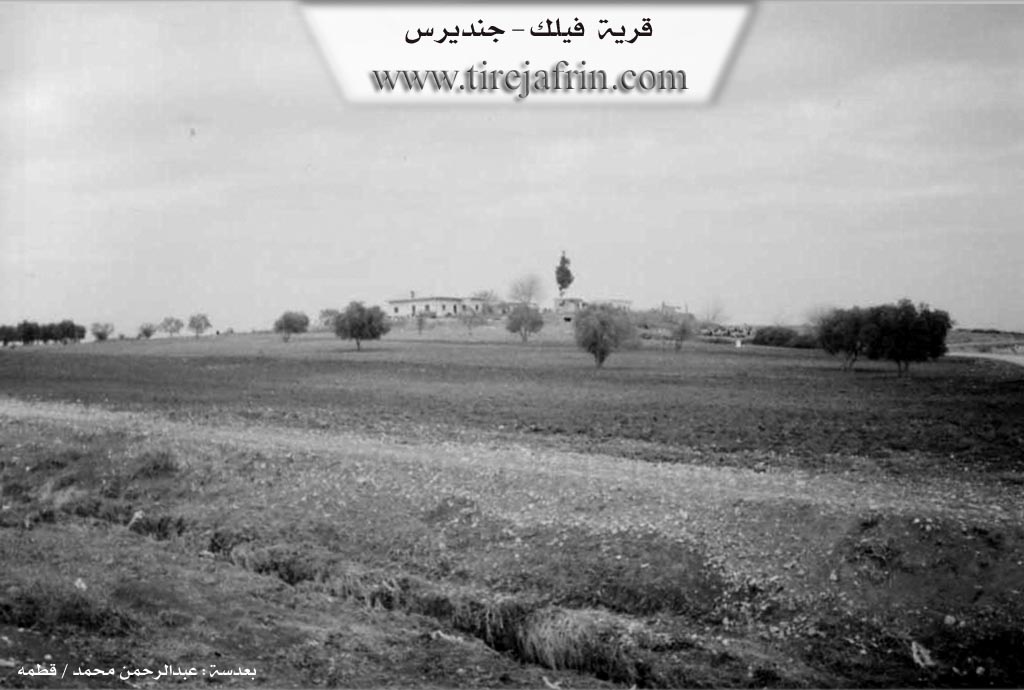
Gundî Fîlik, the village of Filik (160 m):
- It was founded by a man named Filik from the village of Brimjah (Birîmce). He was an agent for the Aghas, so he built several houses on agricultural lands that belonged to them, and the village was named after him.
- It is located opposite Diwan Tahtani on the right bank of the Afrin River. It was deserted in the 1970s after the implementation of the Agrarian Reform Law.
From the book: Afrin... Its River and Green Hills by the author Abd al-Rahman Muhammad from the village of Qatmah:
Filik: A farm in the valley of the Afrin River, near the western Mount Simeon range, belonging to the Jindires subdistrict, Afrin District, Aleppo Governorate. It is a small farm located opposite the village of Diwan Tahtani on the right bank of the Afrin River. It was founded by a man named Filik from the village of Brimjah, which belongs to the Maabatli subdistrict, and was named after him. It is bordered to the north by a fertile agricultural plain planted with olive trees and the town of Jindires; to the south by the course of the Afrin River (500m away) and Diwan Tahtani to the far south; to the west by an agricultural plain and the village of Madaya; and to the east by the course of the Afrin River and the village of Tell Salur. Currently, its inhabitants deserted it in the 1970s, and no one is there. It is now agricultural land near the Afrin River.