General Information
Nahiya (Subdistrict)
Efrîn
Also Known As
كونده مازن, زوق الكبير

Map and Location
Coordinates: 36.511988, 36.774439
Photos
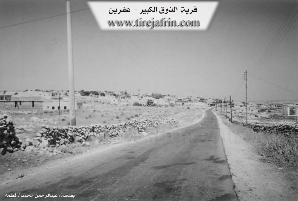
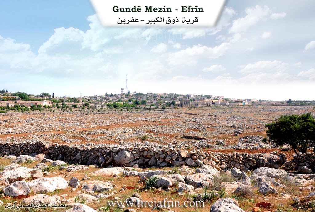
Basic Information about Gundê Mezin - Shirawa area
Source: Tirej Afrin
Etymology: The popular name Gund Mezin means 'the big village' (gund + mezin). The pre-Arabization name Zûq el-Kebîr includes the Aramaic word 'Zûq' meaning watchman, overlook, observatory, or high place; thus the full meaning is 'The Big Observatory' or 'The Big High Place'.
Foundation Date/Period: The current village is approximately 350 years old
Ruins: Xerab Şems
Other Landmarks: Ezhar Efrîn
Summaries
I. Summary from TirejAfrin Site (English) of Gundê Mezin - Shirawa area
Source: https://www.tirejafrin.com/site/kura%20afrin%20markaz-%20zoq%20kaber.htm
Gund Mezin / Zûq el-Kebîr
The following details appeared in the book Çiyayê Kurmênc (Efrîn): A Geographical Study by Dr. Mihemed Ebdo Elî: Gund Mezin, Zûq el-Kebîr /35km, 554m/:
The popular name means "the big village" (gund + mezin), and it is one of the large villages in Çiyayê Lêlûn. Regarding the name prior to Arabization, Zûq el-Kebîr, Xûrî Bersûm (page 195) states that "Zûq" is an Aramaic word meaning watchman, daring one, overlook, observatory, or high place. The full meaning of the name is "The Big Observatory" or "The Big High Place," where the first word is Syriac and the second is Aramaic.
It is a medium sized village among the villages of Çiyayê Şêrwan and Lêlûn. It was attached to the administrative divisions of the Nibil sub district in 1975. The site contains ruins from the Greek eras. Located 1 km to the west is the magnificent archaeological site of Xerab Şems, which contains two churches, one of them on the hillock. The site also contains a standing facade of an ancient pagan temple. It is a beautiful archaeological and touristic site.
The following appeared in the book Efrîn... Her River and Her Green Hills by the writer Ebdulrehman Mihemed from the village of Qetme:
Zûq el-Kebîr is a village in Çiyayê Lêlûn, administratively following the villages of the central district of the Efrîn area, Heleb governorate. It is a large village located on the slopes of Çiyayê Lêlûn and the eastern Çiyayê Seman chain. It follows the Efrîn central sub district. It is bordered to the north by Kalûte and Burc el-Qas; to the south by a slope, a deep valley, a rugged mountain chain of rocks, the village of Tamûra, and the village of Başemre; to the east by a slope, a rugged mountain chain, and the village of Zehra; and to the west by a mountain chain, the remains of huge Roman church walls at a distance of 30 meters, the village of Kebaşîn, and Burc Heyder.
The number of its houses is approximately 150, and the age of the current village is about 350 years. An electricity network and a primary school are available in the village, as well as a water network from a spring within the village itself which belongs to the state. The old village is connected to the city of Efrîn by a paved road that cuts through the center of the village. There is a mosque in the middle of the village. Its old residences are made of stone with wooden roofs, while the modern ones are made of stone and reinforced concrete.
The habitation of the area is ancient. This is indicated by some ruins, walls, an old church, columns, and rock tombs dating back to the Roman and Byzantine eras. The site of Xerab Şems is located approximately 1 km to the west of Zûq el-Kebîr. The residents of the village work in grain cultivation and the raising of sheep and cows. Currently, it has been annexed to the Nibil sub district of the Ezaz area since the year 1980.
Among the social figures in the village is Mr. Ednan Henan (Rehîm), owner of the Ezhar Efrîn school, who contributed to the educational development of the city of Efrîn through his educational institution (Ezhar Efrîn) and many economic projects that benefit the region.
Sources:
- Book: جبل الكرد (عفرين) دراسة جغرافية Çiyayê Kurmênc (Efrîn): A Geographical Study by د. محمد عبدو علي Dr. Mihemed Ebdo Elî.
- Book: عفرين .... نهرها وروابيها الخضراء Efrîn... Her River and Her Green Hills by عبدالرحمن محمد Ebdulrehman Mihemed from the village of Qetme.
Preparation and Execution:
- Director of Tirej Efrîn website: Ebdulrehman Hacî Osman
- 20/12/2013