General Information
Nahiya (Subdistrict)
Bilbilê
Also Known As
Al-Nur, Heyama, Heyamli, النور, هياملي, هايومو

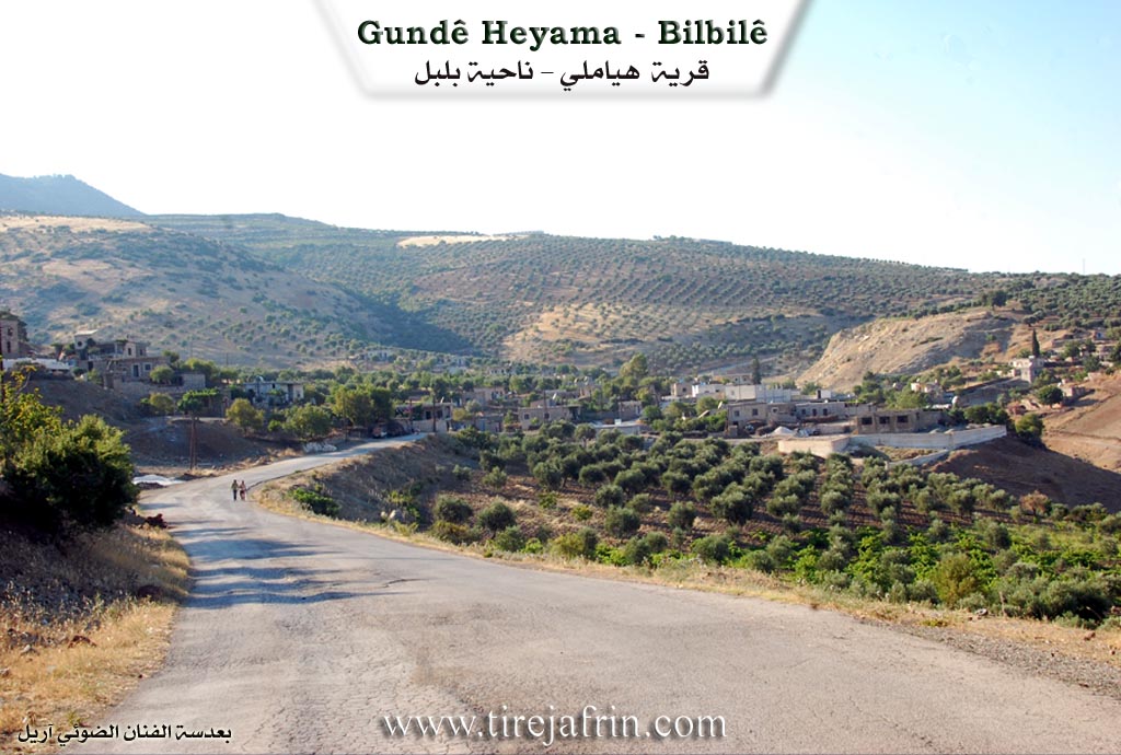
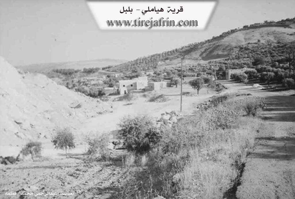
Photos
Basic Information about Heyama
Source: Tirej Afrin
Etymology: Heyama is a Kurdish name meaning the climate (heyam)
Foundation Date/Period: Approximately 300 years ago
Hills: Çiyayê Gir, Çiyayê Damrik
Other Landmarks: Marble quarries
Summaries
I. Summary from TirejAfrin Site (English) of Heyama
Source: https://www.tirejafrin.com/site/kura%20afrin%20%20%20bilbile%20-%20hayamo.htm
Heyama / Heyamlî Village Entry
As stated in the book Çiyayê Kurmênc (Efrîn): A Geographical Study: The village is known as Heyama, Heyamlî, and Al-Nour.
Population: 922 inhabitants.
Area: 307 hectares.
Distance from center: 4 km.
Altitude: 830 m.
Regarding the name Heyama: It is a Kurdish name meaning "the climate" (heyam). As for Al-Nour, it is the modern Arabized name.
It is a small village located on the eastern slope of Çiyayê Gir and occupies a beautiful location.
As stated in the book Efrîn... Her River and Her Green Hills: Heyamlî is a village in Çiyayê Kurmênc following the sub-district of Bilbil, area of Efrîn, governorate of Heleb. It is a small village situated on the lower eastern slope with a slight incline of the small limestone mountain of Çiyayê Damrik. It lies in a fortified location confined between two watercourses heading toward the southeast. It is located 4 km from the town of Bilbil heading northwest.
The village is bordered to the north by the village of Elîkarlî; to the south by a slope, a torrent valley, a plain planted with olive trees, and the village of Xidryanlî; to the west by a mountainous height and the village of Se'ryanlî; and to the east by a slope, a torrent valley, and the village of Ze're.
The number of its houses reaches 40 houses, and its age is approximately 300 years. Its old houses are made of stone and mud with flat wooden ceilings, while the modern ones are concrete and have expanded southward. An electricity network and a primary school are available in the village.
Most of its residents work in the cultivation of olives, grains, and vineyards through rainfed farming (297 hectares), as well as summer vegetables and fruit trees through irrigation from wells (12 hectares). This is in addition to raising sheep and goats. Some residents work in the neighboring marble quarries. Drinking water is obtained from cisterns that collect rainwater or from artesian wells dug next to homes. The road to the sub-district center and neighboring villages is paved.
Sources
جبل الكرد (عفرين) دراسة جغرافية Çiyayê Kurmênc (Efrîn): A Geographical Study by د. محمد عبدو علي Dr. Mihemed Ebdo Elî.
عفرين .... نهرها وروابيها الخضراء Efrîn... Her River and Her Green Hills by عبدالرحمن محمد Ebdulrehman Mihemed from the village of Qetme.
Studies of Navenda Tirej Soft / Ebdulrehman Hacî Osman.
Some residents of the villages.
Preparation and Execution: Manager of the Tirej Efrîn website: Ebdulrehman Hacî Osman 20/12/2013
Possible Village Name Meaning of Heyama
Heyama is a Kurdish name meaning "the climate." The modern Arabic name is Al-Nur.
Source: TirejAfrin Site