General Information
Nahiya (Subdistrict)
Efrîn
Also Known As
'Inabkê, Anab, أناب
Families, Clans, etc.
Bekrî, Ebûd, Hecî Omer, Hemdûş, Hemze, Qedûr, Sibat

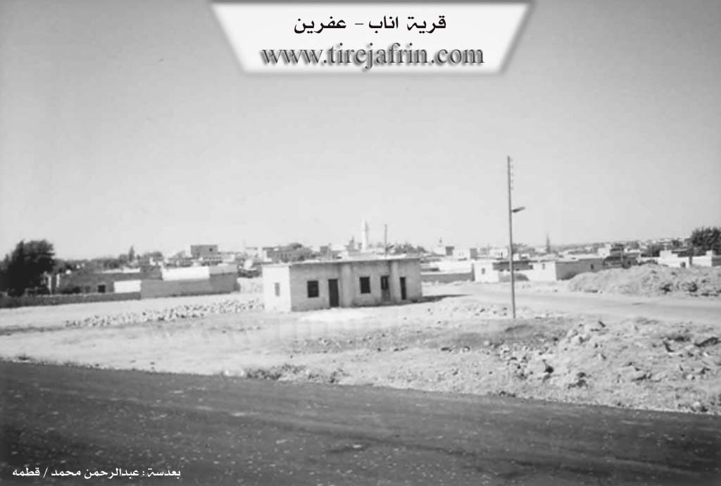
Photos
Basic Information about Inabkê
Source: Tirej Afrin
Etymology: Enab: Name of a wild fruit-bearing tree
Foundation Date/Period: Approximately 500 years ago
Summaries
I. Summary from TirejAfrin Site (English) of Inabkê
Source: https://www.tirejafrin.com/site/kura%20afrin%20markaz-inabka.htm
It is stated in the book جبل الكرد (عفرين) دراسة جغرافية Çiyayê Kurmênc (Efrîn): A Geographical Study by د. محمد عبدو علي Dr. Mihemed Ebdo Elî: Enab / 4447 inhabitants, 20km distance, 545m altitude.
Enab: Name of a wild fruit bearing tree.
It is a large village located next to the village of Meryemîn, and the two villages have expanded such that they have connected to one another. The language of its inhabitants is Arabic.
It is stated in the book عفرين .... نهرها وروابيها الخضراء Efrîn... Her River and Her Green Hills by the writer عبدالرحمن محمد Ebdulrehman Mihemed from the village of Qetme regarding Enab: It is a village in Çiyayê Lêlûn, belonging to the sub district of the central villages and the Efrîn region, Heleb governorate. It is a large village located in an agriculturally fertile plain with volcanic soil, to the east of the city of Efrîn at a distance of 9km.
The settlement of the area is ancient, evidenced by the presence of buildings, scattered pieces of columns, and a number of tombs. It is bordered to the north by the town of Meryemîn, to the south by the nearby village of Jilbul at a distance of 500m, to the east by a wide plain and the village of Şewarxa El-Erz and Malikiye, and to the west by Mezrea Xalidiye and Kefer Mêz.
The number of its houses is approximately 300 houses and its age is approximately 500 years. Its houses are made of stone and mud with flat wooden roofs, and the modern ones are concrete which have begun to spread along the road. It has an electricity network and water taken from Malikiye close to it. A paved road passes through its center connecting to several villages, Heleb, Kefer Cenê, and Dêr El-Cemal.
Its lands are agriculturally fertile. It contains a primary and preparatory school, an old mosque situated in the middle of the village, and a recently built municipality hall. The residents work in the cultivation of olives, vines, legumes, and walnuts on an area of 540 hectares. The village drinks from a water network connected to a well located next to Mezrea Malikiye from the eastern side of the village, in addition to raising livestock. It has a telephone network from the Meryemîn center and contains an old shrine.
Among the families present in the village are: Sibat, Hemdûş, Qedûr, Bekrî, Ebûd, Hecî Omer, and Hemze. Among the holders of higher degrees in the village is Dr. Cuma Şibat, holder of a PhD in International Law, and many holders of university degrees in various specializations. The mukhtar of the village is Mr. Mihemed Cuma Hemze.
Preparation and Execution:
Manager of the Tirej Efrîn site: Ebdulrehman Hacî Osman
Sources:
- Book: جبل الكرد (عفرين) دراسة جغرافية Çiyayê Kurmênc (Efrîn): A Geographical Study by د. محمد عبدو علي Dr. Mihemed Ebdo Elî.
- Book: عفرين .... نهرها وروابيها الخضراء Efrîn... Her River and Her Green Hills by عبدالرحمن محمد Ebdulrehman Mihemed from the village of Qetme.
- 20/12/2013
Foundation/Origin Information of Inabkê
The region's construction is ancient as evidenced by the presence of scattered buildings and column pieces and a number of tombs.
Source: TirejAfrin Site
Possible Village Name Meaning of Inabkê
Anab: Name of a wild fruit tree.
Source: TirejAfrin Site