General Information
Nahiya (Subdistrict)
Efrîn
Also Known As
Kefer Nebo, Kefernebo, كفر نبو

Photos
Basic Information about Kefernebo
Source: Tirej Afrin
Etymology: Nebo is the name of a god from Mesopotamia worshipped in Çiyayê Lêlûn. Kefer means farm or similar. Also suggested to come from Aramaic Keferdaba, meaning Village of the Wolf.
Foundation Date/Period: The current village is 500 years old
Hills: Çiyayê Lêlûn, Çiyayê Simaên
Summaries
I. Summary from TirejAfrin Site (English) of Kefernebo
Source: https://www.tirejafrin.com/site/kura%20afrin%20markaz-%20Kefernebo.htm
It is stated in the book جبل الكرد (عفرين) دراسة جغرافية Çiyayê Kurmênc (Efrîn): A Geographical Study by د. محمد عبدو علي Dr. Mihemed Ebdo Elî: Kefernebo /140 inhabitants 35km 575m/:
Nebo: The name of a god from Mesopotamia who was worshipped in Çiyayê Lêlûn in the pagan eras and the early Christian era, and he had a large temple near the village site. Kefer: Meaning farm or something similar. Al Asadi mentioned regarding its name, quoting Father Shalhat, that it is from Aramaic because it is from: Keferdaba, meaning: Village of the Wolf.
It is stated in the book: عفرين .... نهرها وروابيها الخضراء Efrîn... Her River and Her Green Hills by the writer عبدالرحمن محمد Ebdulrehman Mihemed from the village of Qetme:
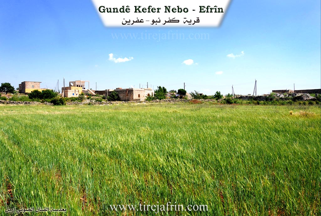
Kefernebo: A village in Çiyayê Lêlûn, following the subdistrict of villages of the center and area of Efrîn, Heleb governorate. It is a small village located on the middle slopes of Çiyayê Lêlûn and Eastern Simaên on a rugged mountain highland.
It is bordered on the north by the rugged Çiyayê Lêlûn chain composed of rocks and the village of Berad.
On the south by a slope and deep valley, a mountain chain, and the village of Burc Heyder.
On the east by a rugged mountain chain composed of rocks and the village of Burc El Qas.
On the west by a rugged mountain chain of rocks and the village of Basûfan and Baê.
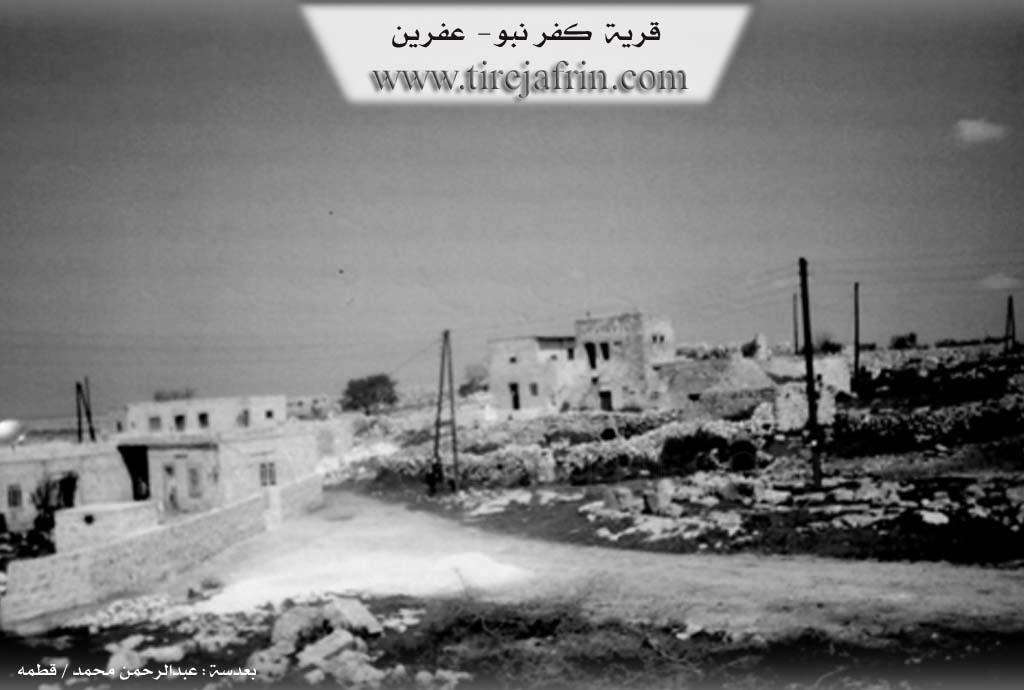
The number of its houses is about 10 houses, and the age of the current village is 500 years. The settlement of the region is ancient, indicated by the remains of several churches, towers, houses for monks, and residential houses from ancient times. As for the site of the village, it is very ancient, dating back to the Roman and Byzantine eras, evidenced by the presence of massive antiquities on the eastern, southern, and western sides of this site, consisting of arches, towers, and the remains of a church on the southern slope and another in the middle of the village. The church located in the center of the village is a massive church with several doors, a courtyard, and wells carved into the rock.
The village of Kefernebo is considered the second largest archaeological village in northern Syria and the city of Heleb in terms of the antiquities found within it. A electricity network has recently become available in it, and the road connecting to it is a paved dirt road. The residents of the village work in grain cultivation and sheep breeding. There are also some old stone domes, and there are five houses made of stones and cement.
Preparation and execution:
Manager of the Tirej Efrîn site: Ebdulrehman Hacî Osman
Sources:
- Book: جبل الكرد (عفرين) دراسة جغرافية Çiyayê Kurmênc (Efrîn): A Geographical Study by د. محمد عبدو علي Dr. Mihemed Ebdo Elî.
- Book: عفرين .... نهرها وروابيها الخضراء Efrîn... Her River and Her Green Hills by عبدالرحمن محمد Ebdulrehman Mihemed from the village of Qetme.
- 20/12/2013
Possible Village Name Meaning of Kefernebo
Nebo was a god from Mesopotamia. "Kefer" means farm, so "farm of Nebo." Another opinion is from Aramaic: "village of wolves."
Source: TirejAfrin Site
V. Links
- Tirej Afrin:
https://www.tirejafrin.com/site/kura%20afrin%20markaz-%20Kefernebo.htm - Photos:
https://images.hollis.harvard.edu/primo-explore/fulldisplay?vid=HVD_IMAGES&docid=HVD_VIA8001625962&sortby=rank&q=any,contains,kidner%20syria&searchString=kidner%20syria&offset=0&tab=default_tab&search_scope=HVD_DDO_IMG - Link:
https://images.hollis.harvard.edu/primo-explore/fulldisplay?vid=HVD_IMAGES&docid=HVD_VIA8001626039&sortby=rank&q=any,contains,kidner%20syria&searchString=kidner%20syria&offset=0&tab=default_tab&search_scope=HVD_DDO_IMG