General Information
Nahiya (Subdistrict)
Efrîn
Also Known As
Kersanê, كرسانه, كرسنطاش, كرسان
Families, Clans, etc.
Feyû, Xubarî

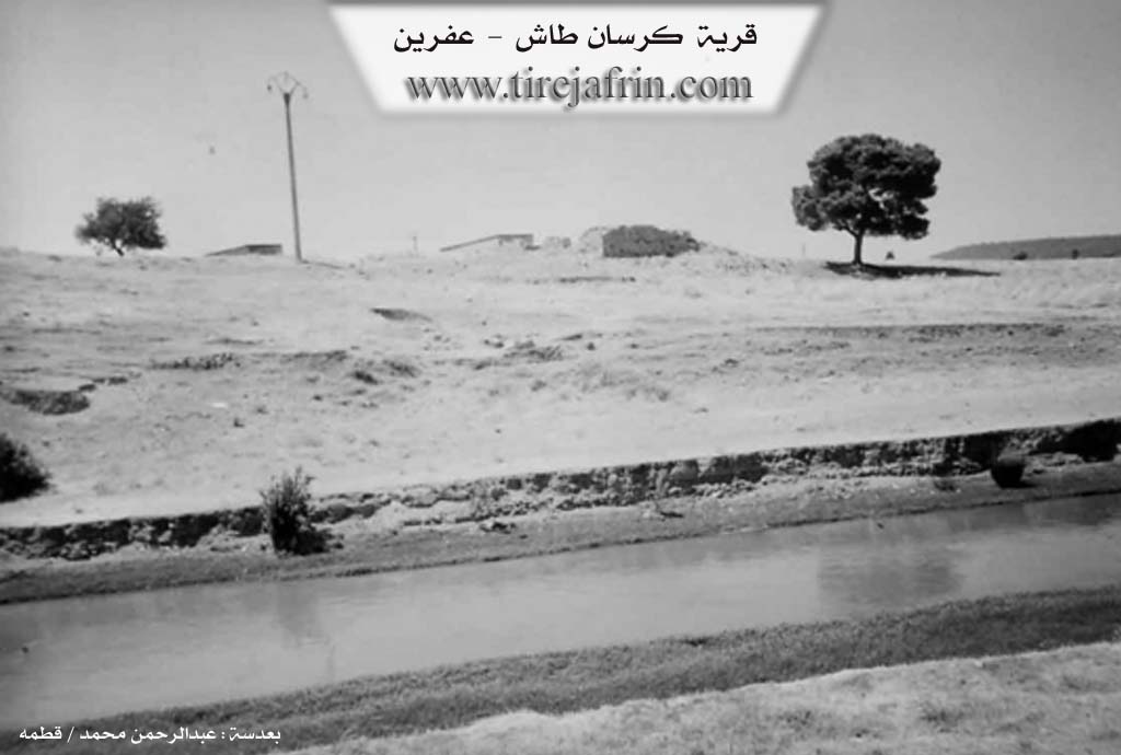
Photos
Basic Information about Kersanê
Source: Tirej Afrin
Etymology: The text offers three theories: 1) From French "wine" and Turkish "taş" (stone), meaning "Wine Stone" or a wine press; 2) From Persian "Karsan" meaning "a round vessel"; 3) From "Kersene," the name of a plant resembling lentils (vetch).
Other Landmarks: Çemê Efrîn, Deşta Cûmê, Kersan Cemetery
Summaries
I. Summary from TirejAfrin Site (English) of Kersanê
Source: https://www.tirejafrin.com/site/kura%20afrin%20markaz-%20Kersan.htm
It is stated in the book جبل الكرد (عفرين) دراسة جغرافية Çiyayê Kurmênc (Efrîn): A Geographical Study by د. محمد عبدو علي Dr. Mihemed Ebdo Elî: Kersan / Kersanê - Kersantaş.
/144 inhabitants - 2 km - 230 m/:
Regarding the name: "Kersanê" means "wine" in French, and "taş" = stone in Turkish, so the meaning of the name is "Wine Stone," or a press for making wine. Additionally, "Karsan" in Persian means "a round vessel," and "Kersene" is the name of a plant resembling lentils (vetch).
Its existence is ancient, and the Feyû family, known in the city of Efrîn, was perhaps the most prominent and earliest to inhabit it. Currently, it contains some dilapidated houses. It is located on the western bank of the Çemê Efrîn (Afrin River), a few hundred meters away, and its ownership currently belongs to the Xubarî family.
It is stated in the book: عفرين .... نهرها وروابيها الخضراء Efrîn... Her River and Her Green Hills by the writer عبدالرحمن محمد Ebdulrehman Mihemed from the village of Qetme:
Kersanê: A village in Çiyayê Kurmênc following the sub-district of the Efrîn center villages, Heleb governorate. It is a small village located in the Cûmê plain on the western bank of the Çemê Efrîn. It was formerly a residence for the agents and peasants of the Aghas but was abandoned starting from the third quarter of this century.
It is bordered to the north by a wide, agriculturally fertile plain and the city of Efrîn; to the south by a wide plain, Cedîde Kersantaş, the village of Betîtê, and the Çemê Efrîn; to the west by a wide fertile plain planted with grains and vegetables irrigated from the Çemê Efrîn; and to the east directly by the course of the Çemê Efrîn, a wide plain, and the village of Turindê.
Currently, this village is abandoned due to rural-to-urban migration. Only three or four houses remained. At present, nothing remains in it except the cemetery, which belongs to the residents of southern Efrîn.
Sources:
- Book: جبل الكرد (عفرين) دراسة جغرافية Çiyayê Kurmênc (Efrîn): A Geographical Study by د. محمد عبدو علي Dr. Mihemed Ebdo Elî.
- Book: عفرين .... نهرها وروابيها الخضراء Efrîn... Her River and Her Green Hills by عبدالرحمن محمد Ebdulrehman Mihemed from the village of Qetme.
Preparation and Execution:
- Manager of Tirej Efrîn website: Ebdulrehman Hacî Osman
- 20/12/2013