General Information
Nahiya (Subdistrict)
Mabeta
Also Known As
عين حجر الوسطى
Photos
Summaries
I. Summary from TirejAfrin Site (English) of Mala Xelî Pîrê
According to the book 'جبل الكرد' 'Mountain of the Kurds' - A Geographic Study by Dr. Mohammed Abdo Ali:
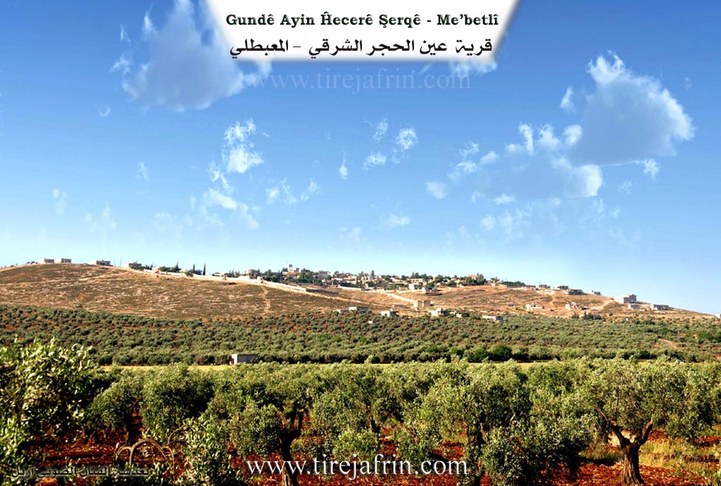
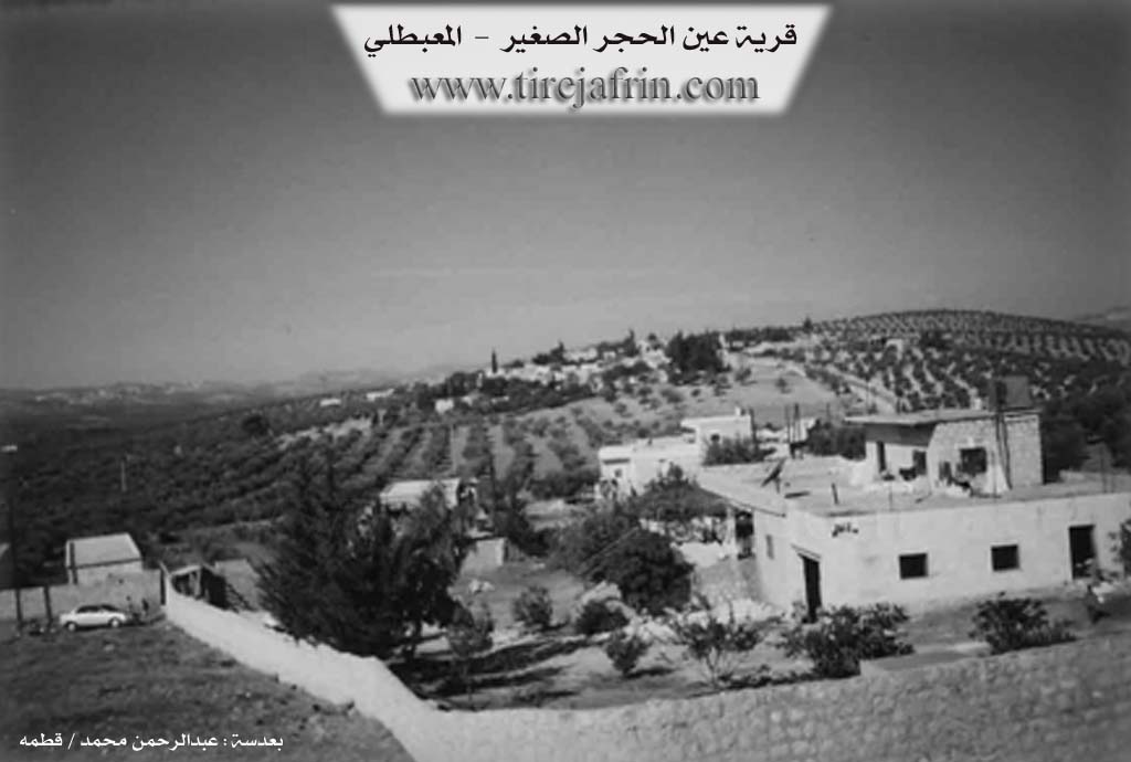
Ain Al-Hajar Eastern (عين الحجر شرقي), Ain Al-Hajar Farm (مزرعة عين الحجر)
Mala Xelî Pîrê (مالا خلي پيره), Ain Hajar Al-Wusta (عين الحجر الوسطى):
- The popular Kurdish name meaning: house of Khalil son of the old woman. And "Khalil" is the name of one of its first inhabitants.
And according to the book: Afrin.... Its River and Green Hills by writer Abdul Rahman Mohammed from Qatmah village:
Foundation/Origin Information of Mala Xelî Pîrê
The first inhabitants included a man named Khalil. The Beit Al-Biro family was the first to inhabit the village.
Source: TirejAfrin Site
Possible Village Name Meaning of Mala Xelî Pîrê
One of its names, Mala Xelî Pîrê, means "house of Khalil son of the old woman."
Source: TirejAfrin Site