General Information
Nahiya (Subdistrict)
Efrîn
Also Known As
مزرعة المنصورة
Photos
Basic Information about Mansora
Source: Tirej Afrin
Ruins: Ebû Ke'b
Other Landmarks: Deşta Cûmê, Çemê Efrîn
Summaries
I. Summary from TirejAfrin Site (English) of Mansora
Source: https://www.tirejafrin.com/site/kura%20afrin%20markaz-%20mansora.htm
It is stated in the book: Efrîn .... Her River and Her Green Hills by the writer Ebdulrehman Mihemed from the village of Qetme:
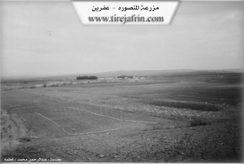
Mezre'a Mensûra: A farm in Deşta Cûmê belonging to the district center of Efrîn villages, Heleb governorate.
It is a small farm south of the village of Ferîriyê. Most of its inhabitants are Arab newcomers benefiting from the Agrarian Reform Law. The farm was built next to the abandoned village of Ebû Ke'b on the right bank of Çemê Efrîn.
It is bordered to the north by the village of Ferîriyê, to the south by Mezre'a Qarsaq, to the east by the villages of Îskan and Şeh Dêr, and to the west by the village of Tel Selûr.
Its houses are modern and made of stone. Its inhabitants work in agriculture, growing grains, cotton, sugar beets, and vegetables, irrigated by the waters of Çemê Efrîn. A primary school is available there, and the road leading to it is a graded dirt road.
Preparation and execution:
Director of Tirej Efrîn website: Ebdulrehman Hacî Osman
20/12/2013
Sources
Book: عفرين .... نهرها وروابيها الخضراء Efrîn .... Her River and Her Green Hills by عبدالرحمن محمد Ebdulrehman Mihemed from the village of Qetme.