General Information
Nahiya (Subdistrict)
Efrîn
Also Known As
Qarsaq, قارساق
Tribes
Sebxawî
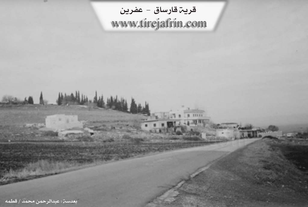
Photos
Basic Information about Qarsaq
Source: Tirej Afrin
Etymology: Name of a site at the foot of Çiyayê Lêlûn west of Îska, meaning unknown
Foundation Date/Period: 1960s
Hills: Çiyayê Lêlûn, Çiyayê Seman
Other Landmarks: Çemê Efrîn
Summaries
I. Summary from TirejAfrin Site (English) of Qarsaq
Source: https://www.tirejafrin.com/site/kura%20afrin%20markaz-%20Qarsaq.htm
It is stated in the book جبل الكرد (عفرين) دراسة جغرافية Çiyayê Kurmênc (Efrîn): A Geographical Study by د. محمد عبدو علي Dr. Mihemed Ebdo Elî regarding Qarsaq /210m/:
Qarsaq is a name for a site at the foot of Çiyayê Lêlûn, approximately 1.5km west of the village of Îska. We did not know a meaning for the name.
Habitation in this site dates back to the sixties of the twentieth century by several Arab families from the Sebxawî clan. They settled there after obtaining lands from the agrarian reform. The number of its houses is currently around ten.
It is stated in the book: عفرين .... نهرها وروابيها الخضراء Efrîn... Her River and Her Green Hills by the writer عبدالرحمن محمد Ebdulrehman Mihemed from the village of Qetme:
Qarsaq is a farm in Deşta Cûmê belonging to the subdistrict of the Efrîn villages center, Heleb governorate. The name of this site exists in the Çiyayê Lêlûn chain, but the mentioned farm is located about 5km west of the village of Îska. The paved Riya Cindirês (Cindirês road) passes by it.
It is bordered to the north by an agriculturally fertile plain, the valley of Çemê Efrîn, and the village of Zelaqa, Mensûriyê, and Ferîriyê. To the south, the rugged mountain heights of western Çiyayê Seman and some villages of Idlib governorate. To the west, an agriculturally fertile plain planted with pomegranate trees and the village of Celemê. To the east, a fertile agricultural plain and the village of Îska.
The number of its houses reaches 15 houses, and the age of the farm is 35 years. Its modern houses are made of stones and reinforced cement. The habitation of this area dates back to the sixties of the last century after an Arab family that came from the Firat districts obtained agrarian reform lands, so they built residences there.
An electricity network and a primary school are available there, as well as two luxurious villas. This new residential site is located between the villages of Îska and Celemê. Adjacent to the farm, there are houses for livestock herders from the Arabs who settled there after they benefited from the agrarian reform laws regarding the distribution of the Aghas' lands to the peasants.
Sources
Book: جبل الكرد (عفرين) دراسة جغرافية Çiyayê Kurmênc (Efrîn): A Geographical Study by د. محمد عبدو علي Dr. Mihemed Ebdo Elî.
Book: عفرين .... نهرها وروابيها الخضراء Efrîn... Her River and Her Green Hills by عبدالرحمن محمد Ebdulrehman Mihemed from the village of Qetme.
Preparation and execution:
Manager of Tirej Efrîn site: Ebdulrehman Hacî Osman
20/12/2013
Foundation/Origin Information of Qarsaq
Settlement in the 1960s by several Arab families from the Subkhawi tribe after they obtained lands from agricultural reform.
Source: TirejAfrin Site
Possible Village Name Meaning of Qarsaq
The meaning of the name is unknown.
Source: TirejAfrin Site