General Information
Nahiya (Subdistrict)
Reco
Also Known As
Qestela Rajo, Qestela Reco, Qestelê, قسطل, قسطل راجو, قيسكه
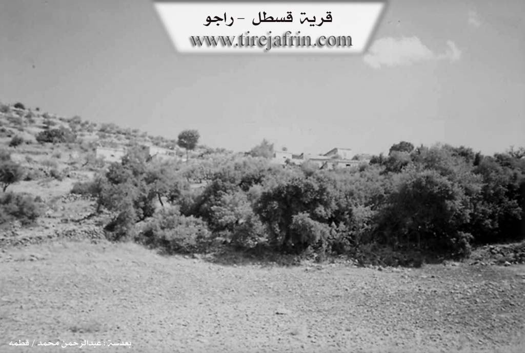
Photos
Basic Information about Qestela
Source: Tirej Afrin
Foundation Date/Period: about 60 years
Hills: Çiyayê Behîvê, Çiyayê Şehîdan
Summaries
I. Summary from TirejAfrin Site (English) of Qestela
Source: https://www.tirejafrin.com/site/kura%20afrin%20%20%20Reco%20-%20Qestela%20reco.htm
It is stated in the book Efrîn... Her River and Her Green Hills: Qestel Reco: A farm in Çiyayê Kurmênc belonging to the Reco district, Efrîn region, Heleb governorate.
It is a very small farm consisting of a limited number of houses, located near a high mountain called Çiyayê Behîvê or Çiyayê Şehîdan, and in front of it is a harsh slope. It is bordered on the north by the plain of Meydan Ekbez and the farm of Ereblî, and on the south by a high mountain chain and the village of Tepe Koy and Weliklî. It is bordered on the east by a high mountain chain named Çiyayê Behîvê, and on the west by a mountain chain, a valley, and the village of Tepe Koy.
The number of its houses amounts to 5 houses and its age is about 60 years. Its dwellings are modern stone and cement. An electricity network is available there, and an asphalt road, the Riya Meydan Ekbez-Bilbile (Meydan Ekbez-Bilbile road), passes near it. The residents work in the cultivation of olives and vines and the raising of sheep and goats.
Sources of Information:
- Book: جبل الكرد (عفرين) دراسة جغرافية Çiyayê Kurmênc (Efrîn): A Geographical Study by د. محمد عبدو علي Dr. Mihemed Ebdo Elî.
- Book: عفرين .... نهرها وروابيها الخضراء Efrîn... Her River and Her Green Hills by عبدالرحمن محمد Ebdulrehman Mihemed from the village of Qetme.
- Studies of Navenda Tirej Soft / Ebdulrehman Hacî Osman.
- Some residents of the villages.
Preparation and execution: Manager of the site Tirej Efrîn: Ebdulrehman Hacî Osman 20/12/2013