General Information
Nahiya (Subdistrict)
Mabeta
Also Known As
Qitran, Qitraniyê, Qitranli, قطران, قطرانلي, قترانيه, قطرانية
Families, Clans, etc.
Elî Şêx Îsmaîl Zade

Photos
Basic Information about Qitraniyê
Source: Tirej Afrin
Etymology: Qitraniy: From the black color
Foundation Date/Period: approximately 150 years ago
Summaries
I. Summary from TirejAfrin Site (English) of Qitraniyê
Source: https://www.tirejafrin.com/site/kura%20afrin%20%20%20mebetli%20-%20qitraniye.htm
The following details appeared in the book جبل الكرد (عفرين) دراسة جغرافية Çiyayê Kurmênc (Efrîn): A Geographical Study by د. محمد عبدو علي Dr. Mihemed Ebdo Elî:
Qitranî, also known as Qetranlî or Qetran, has 127 inhabitants and an elevation of 502 meters.
Etymology
Qitraniy: The name is derived from the black color.
Location and Composition
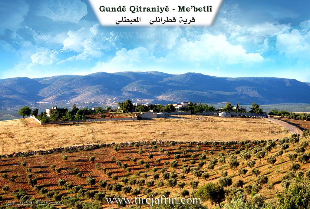
It is located north of the town of Mabatlî. It consists of several residences belonging to the aghas of Îsmaîl Zade and their peasants. It overlooks the Ketix plain from the north.
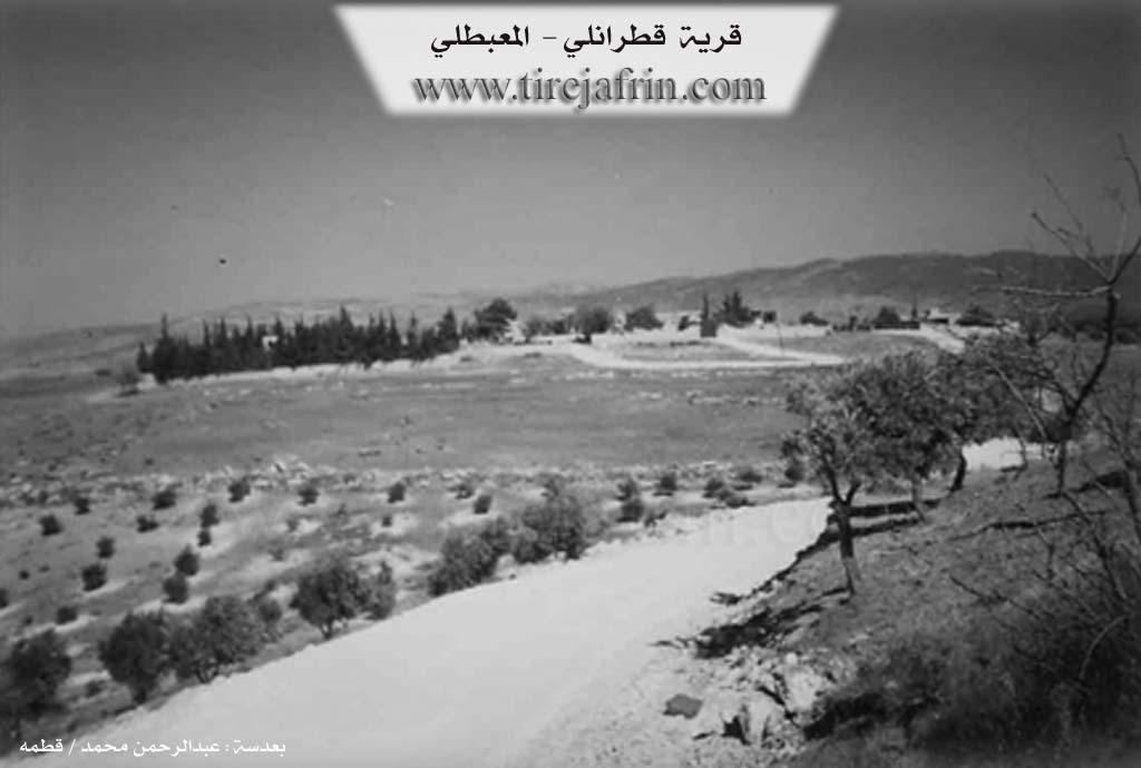
According to the book عفرين .... نهرها وروابيها الخضراء Efrîn... Her River and Her Green Hills by the writer عبدالرحمن محمد Ebdulrehman Mihemed from the village of Qetme:
Qetranlî is a farm in Çiyayê Kurmênc following the Mabatlî sub-district, Efrîn region, Heleb governorate. It is a small farm located in the middle section of the mentioned mountain, situated atop a limestone plateau surrounded by mountain slopes and watercourses.
Boundaries
It is bordered to the north by a steep slope, the fertile Ketix plain, the Xeta Trêna Heleb-Meydan Ekbez (Heleb-Meydan Ekbez railway), and the villages of Şêx Kîlo and Heyat. To the south, it is bordered by a slope, a watercourse, and the town of Mabatlî. To the west, there is a mountainous height, a fertile agricultural plain planted with olive trees, and the village of Ereb Uşaxî. To the east, there is a slope, mountainous heights, the villages of Kokan Tehtanî and Kokan Foqanî, and the Sîno farm.
Demographics and History
The number of houses reaches approximately 7 houses, and its age is approximately 150 years. It is inhabited by one family from the family of Elî Şêx Îsmaîl Zade, and currently some peasants.
Architecture and Services
Its old houses are made of stone and mud with wooden ceilings, while the modern ones are of stone and concrete. A telephone network is available, and it shares a school with the town. It is connected to the town by a dirt mountain road.
Economy
The residents work in the cultivation of olives, grains, vines, walnuts, and almonds, alongside sheep farming. It is administratively directly attached to the town of Mabatlî.
Sources
Book: جبل الكرد (عفرين) دراسة جغرافية Çiyayê Kurmênc (Efrîn): A Geographical Study by د. محمد عبدو علي Dr. Mihemed Ebdo Elî.
Book: عفرين .... نهرها وروابيها الخضراء Efrîn... Her River and Her Green Hills by عبدالرحمن محمد Ebdulrehman Mihemed from the village of Qetme.
Preparation and Execution:
Manager of Tirej Efrîn site: Ebdulrehman Hacî Osman
20/12/2013
Foundation/Origin Information of Qitraniyê
It is inhabited by one family from the family of Ali Sheikh Ismail Zadeh, and currently some farmers.
Source: TirejAfrin Site
Possible Village Name Meaning of Qitraniyê
Qitranieh: From the black color.
Source: TirejAfrin Site