General Information
Nahiya (Subdistrict)
Şera
Also Known As
Al-Deeb Al-Saghir, Qurt Qalaq Small, Qurtqulaqê Çûçik, الديب الصغير, قورت قولاق صغير, قورتقلق تحتاني

Photos
Basic Information about Qurtqulaqê Çûçik
Source: Tirej Afrin
Etymology: Turkish word meaning 'Wolf's Ear' (Qurt + Qulaq)
Foundation Date/Period: 200 years
Summaries
I. Summary from TirejAfrin Site (English) of Qurtqulaqê Çûçik
Source: https://www.tirejafrin.com/site/kura%20afrin%20%20sheran%20-%20qort%20qolaq%20%20s.htm
The following text appears in the book جبل الكرد (عفرين) دراسة جغرافية Çiyayê Kurmênc (Efrîn): A Geographical Study: Qurtqulaq, Al-Dîb:
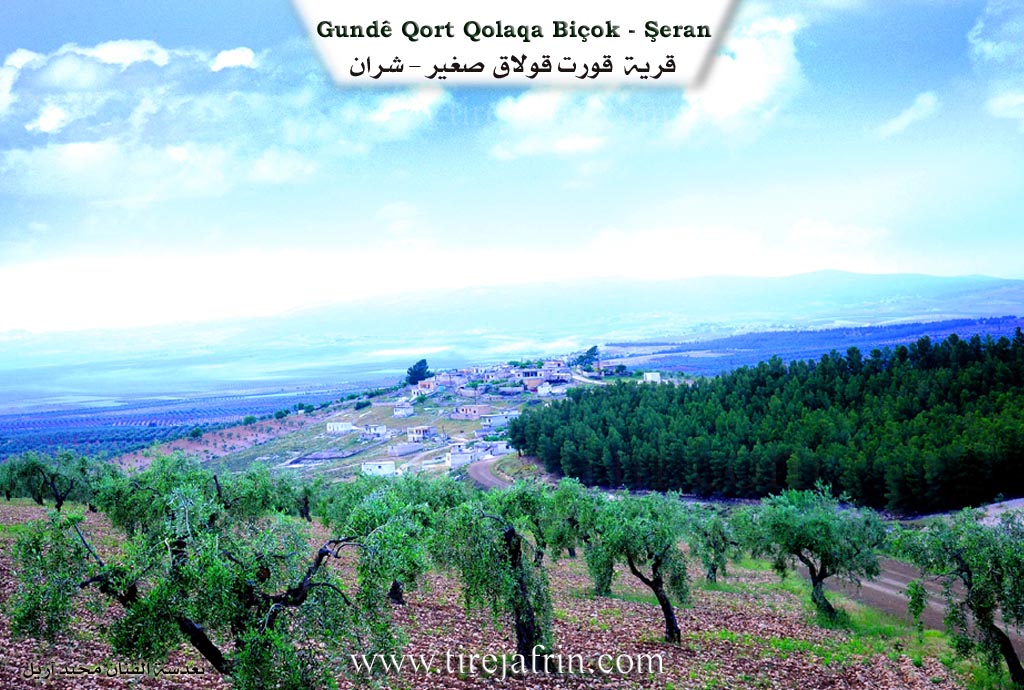
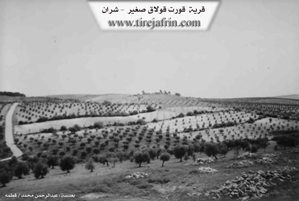
Qurtqulaq: A Turkish word meaning "Wolf's Ear." The Arabized name is an inaccurate translation of the Turkish meaning. They are two separate villages: Qurtqulaqa Biçûk (Little Qurtqulaq, Al-Dîb al-Saghîr) /869 inhabitants, 285 houses, 8km, 370m altitude/. It is a small village located on the eastern bank of the Efrîn river.
The following appears in the book عفرين .... نهرها وروابيها الخضراء Efrîn... Her River and Her Green Hills: Qurtqulaqa Biçûk is a village in Çiyayê Kurmênc administratively attached to the Şera district, Efrîn region, Heleb governorate (850 inhabitants). It is a small village situated on a mountain rise and a fertile plateau. It is surrounded by slopes on all sides.
It is bordered to the north by a valley and a rise planted with olive trees and the village of Qurtqulaqa Mezin. It is bordered to the south by a slope, a deep watercourse, a plain planted with olive trees, vines, and forest trees, the village of Qestel Kişk, and the village of Qeretepe. It is bordered to the east by a mountain range planted with forest trees and the village of Kortik. It is bordered to the west by a valley planted with olive trees, a plain, the course of the Efrîn valley, and the village of Eyn Hecerê Mezin.
The number of its houses is about 25 houses, and its age is 200 years. Its old dwellings are of stone and mud with wooden roofs, while the modern ones are of cement. A paved road is available up to the center of the village. Residents drink from collection pools or from artesian wells dug near the houses. Its inhabitants work in rain fed agriculture of olives and vines, and irrigated cultivation of vegetables and fruit trees watered from the Efrîn river. It is a beautiful and sweet village built of beautiful stones.
Village Mokhtar: Mihemed Miqdad Omer
Sources of Information:
- Book: جبل الكرد (عفرين) دراسة جغرافية Çiyayê Kurmênc (Efrîn): A Geographical Study by د. محمد عبدو علي Dr. Mihemed Ebdo Elî.
- Book: عفرين .... نهرها وروابيها الخضراء Efrîn... Her River and Her Green Hills by عبدالرحمن محمد Ebdulrehman Mihemed from the village of Qetme.
- Studies of Navenda Tirej Soft / Ebdulrehman Hacî Osman.
- Some residents of the villages.
Preparation and execution: Manager of the Tirej Efrîn site: Ebdulrehman Hacî Osman 20/12/2013
Possible Village Name Meaning of Qurtqulaqê Çûçik
Qurt Qolaq is a Turkish word meaning 'wolf's ear'. The Arabic name is an inaccurate translation.
Source: TirejAfrin Site