General Information
Nahiya (Subdistrict)
Cindires
Also Known As
Remadiye, Remediyê, رمادية
Families, Clans, etc.
Refet Axa El Emo

Photos
Basic Information about Remadiyê
Source: Tirej Afrin
Etymology: Perhaps an Arabic name derived from "Al-Ramad" (ash)
Foundation Date/Period: 300 years
Summaries
I. Summary from TirejAfrin Site (English) of Remadiyê
Source: https://www.tirejafrin.com/site/kura%20afrin%20Cindires%20-%20remediye.htm
In the book جبل الكرد (عفرين) دراسة جغرافية Çiyayê Kurmênc (Efrîn): A Geographical Study by د. محمد عبدو علي Dr. Mihemed Ebdo Elî: Remadiy, /809 inhabitants - 6km - 200m/:
Perhaps it is an Arabic name from "Al-Ramad" (ash).
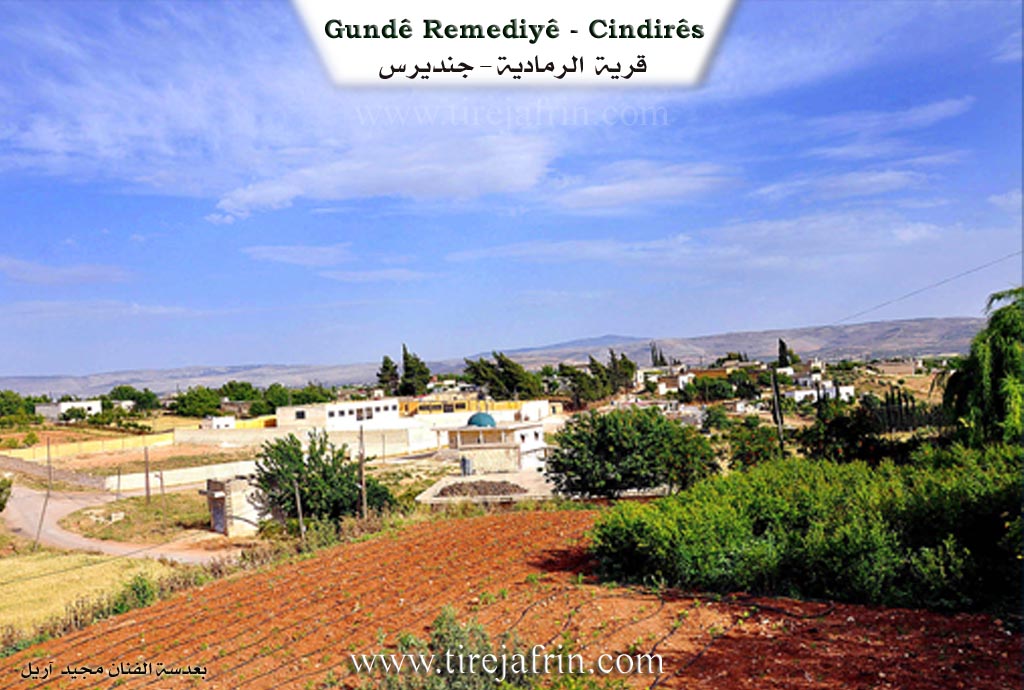
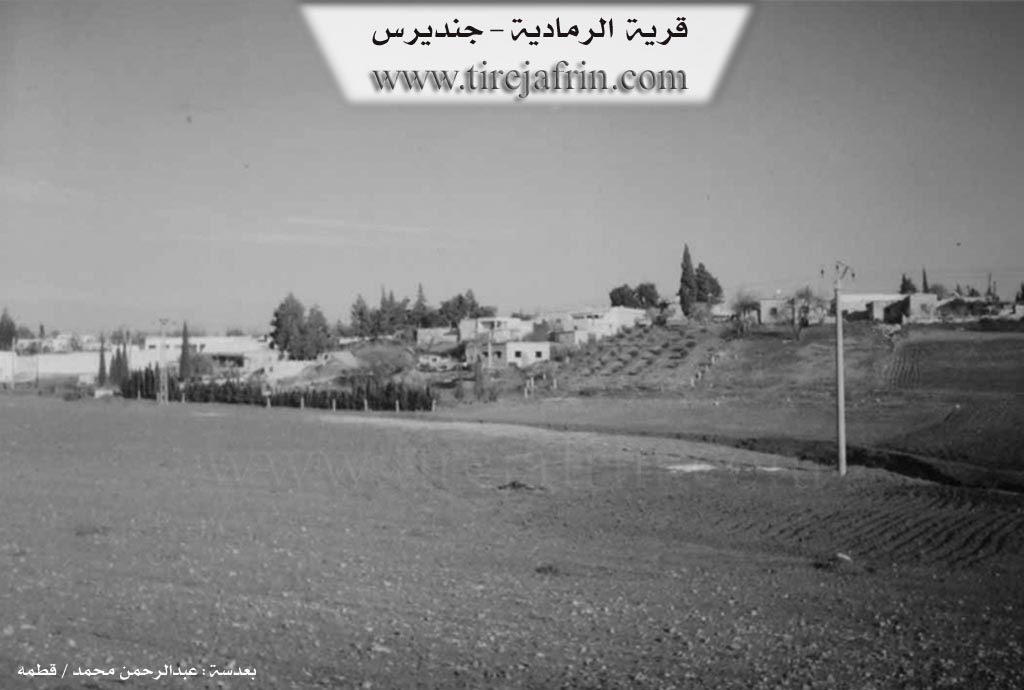
It is located on the eastern bank of the Xaltan valley. It is a small and beautiful village located in the middle of a plain covered with olive trees.
And in the book: عفرين .... نهرها وروابيها الخضراء Efrîn... Her River and Her Green Hills by the writer عبدالرحمن محمد Ebdulrehman Mihemed from the village of Qetme:
Remadiyê: A village in Çiyayê Kurmênc following the Cindirês district, Efrîn region, Heleb governorate. It is a large village located in fertile flat land and atop an agricultural plateau on the eastern edge of the Cindirês and Cûm plain. A torrential valley passes through its center heading south towards the Efrîn valley.
It is bordered to the north by a fertile plain, the Riya Efrîn-Cindirês (Efrîn-Cindirês road), and the village of Qurbê. To the south by a fertile plain planted with olive trees, the village of Ebû Keib, and the valley of the Efrîn river. To the east by a fertile plain planted with olive trees and the village of Ferêriyê. To the west by a fertile plain planted with olive trees and the village of Hemîlk.
Its soil is fertile, possessing fertile soil rich with abundant groundwater. The number of its houses reaches about 70 houses and the age of the village is about 300 years. Its old houses are mud with wooden roofs and the modern ones are concrete, having expanded east, west, and north. A torrential valley passes through its center dividing the village into two sections: (Western and Eastern).
An electricity network, a primary school, and a mosque are available in it. The village currently drinks from artesian well water, and in the past from a spring in the center of the village which has dried up completely now. Most of its residents work in rain fed agriculture (grains, olives) and irrigated agriculture from artesian wells with summer vegetables and fruit trees, alongside raising sheep and cows. It connects to the district center and neighboring villages via a paved road. Among its most important families is the family of Refet Axa El Emo.
Village Mukhtar: Fewzî Mihemed Êso
Preparation and execution:
Manager of Tirej Efrîn site: Ebdulrehman Hacî Osman
20/12/2013
Sources
Book: جبل الكرد (عفرين) دراسة جغرافية Çiyayê Kurmênc (Efrîn): A Geographical Study by د. محمد عبدو علي Dr. Mihemed Ebdo Elî.
Book: عفرين .... نهرها وروابيها الخضراء Efrîn... Her River and Her Green Hills by عبدالرحمن محمد Ebdulrehman Mihemed from the village of Qetme.
Foundation/Origin Information of Remadiyê
Among its most important families is the Rifat Agha Aal Ammu family.
Source: TirejAfrin Site
Possible Village Name Meaning of Remadiyê
Perhaps an Arabic name from 'ramad' (ash).
Source: TirejAfrin Site