General Information
Nahiya (Subdistrict)
Cindires
Also Known As
Rif'etiyê, Rifetiye, رفعتية
Families, Clans, etc.
Emo, Heyder
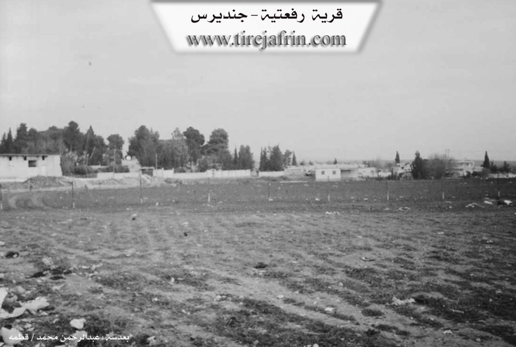
Photos
Basic Information about Rif'etiyê
Source: Tirej Afrin
Etymology: Named after Rif'et Axa of the Emo family
Foundation Date/Period: Approximately 80 years ago
Other Landmarks: Deşta Cûmê, Deşta Cindirêsê, Newala Efrînê
Summaries
I. Summary from TirejAfrin Site (English) of Rif'etiyê
Source: https://www.tirejafrin.com/site/kura%20afrin%20Cindires%20-%20rifetiye.htm
The following is stated in the book جبل الكرد (عفرين) دراسة جغرافية Çiyayê Kurmênc (Efrîn): A Geographical Study by د. محمد عبدو علي Dr. Mihemed Ebdo Elî:
Rif'etiyê /205m/:
It is named after Rif'et Axa of the Emo family, and his palace is located there. It contains a palace for the Emo family and has become part of the eastern neighborhood of the town of Cindirês.
The following is stated in the book عفرين .... نهرها وروابيها الخضراء Efrîn... Her River and Her Green Hills by the writer عبدالرحمن محمد Ebdulrehman Mihemed from the village of Qetme:
Rif'etiyê is a farm in Çiyayê Kurmênc belonging to the Cindirês district, Efrîn region, Heleb governorate. It is a small farm located in the fertile Cindirês plain and Cûm plain. Its soil is alluvial clay. It is situated 500 meters away from the town of Cindirês.
It is bordered to the north by the Riya Cindirês-Efrîn (Cindirês-Efrîn road), a fertile plain planted with olive trees, and the village of Zindakan. It is bordered to the south by a fertile plain planted with olive trees, the village of Hacîler, and the Efrîn valley. To the west, it is bordered by a torrential valley and the town of Cindirês at a distance of 500 meters. To the east, it is bordered by a torrential valley and the village of Hemîlek.
The number of its houses currently reaches 25 houses, and its age is 80 years. Its old houses are made of stone with flat wooden roofs, while the modern ones are concrete. Formerly, it consisted of three luxurious villas for the family of Heyder and Rif'et Axa (the Emo family).
An electricity network and a drinking water network connected to the Cindirês water network are available, or water is obtained from artesian wells drilled next to the houses. It has a telephone service. Its residents work in the cultivation of olives and grains alongside raising sheep and goats. Currently, it has been annexed to the Cindirês municipality and has become one of its eastern neighborhoods. Among its most important families are: Rif'et of the Emo family, who were the first to inhabit the village and were its founders. It connects with the town of Cindirês by a paved road.
Preparation and execution:
Manager of the Tirej Efrîn website: Ebdulrehman Hacî Osman
20/12/2013
Sources:
- Book: جبل الكرد (عفرين) دراسة جغرافية Çiyayê Kurmênc (Efrîn): A Geographical Study by د. محمد عبدو علي Dr. Mihemed Ebdo Elî.
- Book: عفرين .... نهرها وروابيها الخضراء Efrîn... Her River and Her Green Hills by عبدالرحمن محمد Ebdulrehman Mihemed from the village of Qetme.
Foundation/Origin Information of Rif'etiyê
It was previously three villas for the Haider and Rifat Agha (Aal Ammu) family. Rifat Aal Ammu was the first to inhabit and establish the village.
Source: TirejAfrin Site
Possible Village Name Meaning of Rif'etiyê
Named after Rifat Agha Aal Ammu.
Source: TirejAfrin Site