General Information
Nahiya (Subdistrict)
Reco
Also Known As
تل كاشور, Tel Kashur, Tilî Kêşûrlê, Tilê Kêşûr
Photos
Basic Information about Tilî Kêşû
Source: Tirej Afrin
Etymology: According to the Mukriyanî dictionary, Kaş is a type of tree, and it is also a local Kurdish proper name
Springs: Batman
Hills: Til Kaşûr
Ruins: Xerab Mecîd
Other Landmarks: Çemê Reş
Summaries
I. Summary from TirejAfrin Site (English) of Tilî Kêşû
Source: https://www.tirejafrin.com/site/kura%20afrin%20%20%20Reco%20-%20tal%20kashor.htm
It is stated in the book جبل الكرد (عفرين) دراسة جغرافية Çiyayê Kurmênc (Efrîn): A Geographical Study: Til Kşr, Til Keşûr, Keşûr /275m/:
Til Kaşûr: It is stated in the /Mukriyanî dictionary/ regarding the name that Kaş is a type of tree. It is also a local Kurdish proper name.
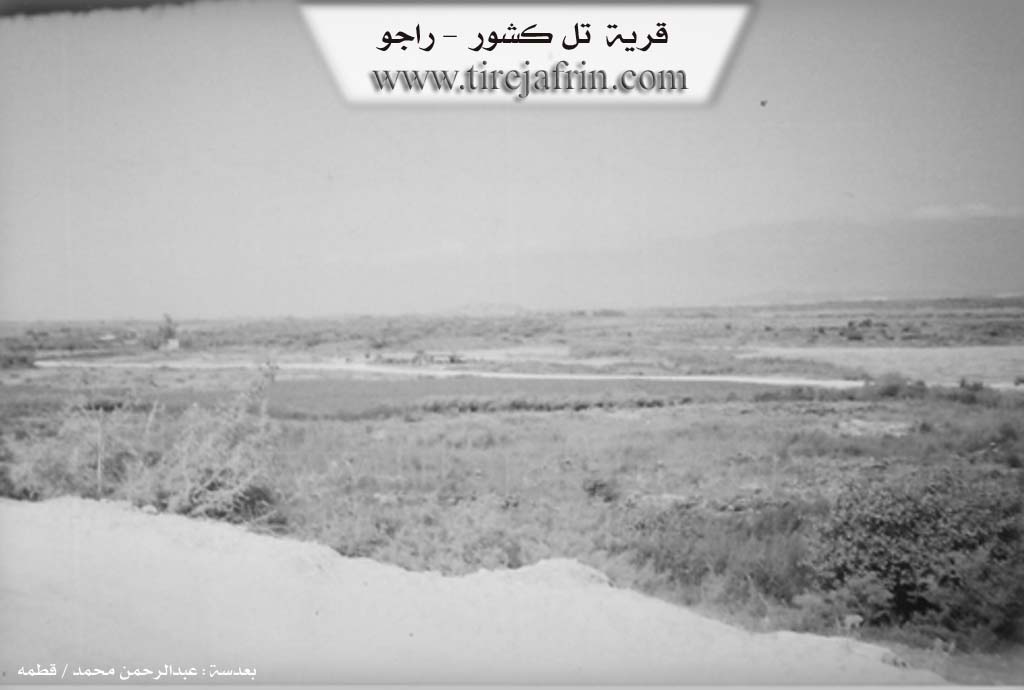
It is an archaeological hill, with ruins of ancient monuments scattered in its flat surroundings, indicating a history of ancient habitation. The hill is located in the Deşta 'Emaq plain, about 1km south of the village of Şediya. The site was a temporary dwelling for some livestock breeders, so it was included within the administrative divisions of the township of Reco.
It is stated in the book عفرين .... نهرها وروابيها الخضراء Efrîn... Her River and Her Green Hills: Til Kaşûr: A village in Çiyayê Kurmênc administratively following the township of Reco, area of Efrîn, governorate of Heleb. It is a small village administratively attached to the village of Qemreş and is located on an archaeological hill. It is surrounded by a wide plain from all sides that is agriculturally fertile. Currently, not a single house remains of the village except for the remaining ruins that indicate the extinction of the village in the past.
It is bordered to the north by the course of the Çemê Reş (Black River) and the Turkish border a few meters away from it; to the south by a plain and the village of Sorkê; to the east by a fertile plain planted with summer vegetables irrigated by the Batman spring, a high mountain chain, and Xerab Mecîd; and to the west by the course of the Çemê Reş (Black River) and the Turkish border directly a few meters away.
There are no services available at the village site. Its lands are fertile due to its location near the Çemê Reş (Black River) and Batman spring. These lands are cultivated by the residents of the following villages: Sorkê, Atmana, and Kurrê.
Sources of Information:
- Book: جبل الكرد (عفرين) دراسة جغرافية Çiyayê Kurmênc (Efrîn): A Geographical Study by د. محمد عبدو علي Dr. Mihemed Ebdo Elî.
- Book: عفرين .... نهرها وروابيها الخضراء Efrîn... Her River and Her Green Hills by عبدالرحمن محمد Ebdulrehman Mihemed from the village of Qetme.
- Studies of Navenda Tirej Soft / Ebdulrehman Hacî Osman.
- Some residents of the villages.
Preparation and execution: Manager of Tirej Efrîn site: Ebdulrehman Hacî Osman 20/12/2013