General Information
Nahiya (Subdistrict)
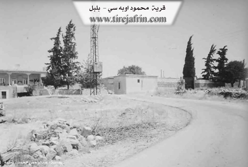
Bilbilê
Also Known As
Al-Mahmoudiya, Mahmoud Oba Si, Topel Meĥmûd, المحمودية, محمود أوباسي, محمود أوبه سي, توبال, محمود اوبه سي

Photos
Basic Information about Topel Meĥmûd
Source: Tirej Afrin
Etymology: The name means 'Lame Mahmoud' (Topal + Mehmûd), which is the name of its first inhabitant. The Ottoman name Mehmûd Obasî means 'the group/community of Mahmoud'.
Foundation Date/Period: About 150 years ago
Summaries
I. Summary from TirejAfrin Site (English) of Topel Meĥmûd
Source: https://www.tirejafrin.com/site/kura%20afrin%20%20%20bilbile%20-%20almahmudya.htm
It is stated in the book جبل الكرد (عفرين) دراسة جغرافية Çiyayê Kurmênc (Efrîn): A Geographical Study: Topal Mehmûd, Mehmûd Obasî, El-Mehmûdîye, /168 inhabitants, 690m altitude, 7km/:
The designation means "Lame Mahmoud" (Topal + Mehmûd), which is the name of its first inhabitant. The Ottoman designation means "the group of Mahmoud."
It is a small village consisting of several houses for residence, located in the middle of a wooded flat of oak trees and rocks, such that it hides it from the outside world. In the village, there is a house dated to the year 1032 according to the Eastern Gregorian calendar, and it is believed to be the oldest dated house in the region.
It is stated in the book عفرين .... نهرها وروابيها الخضراء Efrîn... Her River and Her Green Hills: Mehmûd Obasî: A farm in Çiyayê Kurmênc belonging to the district of Bilbil, region of Efrîn, governorate of Heleb.
It is a village located on a plateau and composed of 15 houses, inhabited by one family. Around it are olive trees. It is bordered on the north by the Turkish border directly; on the south by a plain planted with olive trees and the village of Elî Caro; on the west by a plain and the village of Qurnê; and on the east by a plain, the village of Ebûdan, the village of Hay Oglî, and the Turkish border.
An electricity network is available in it, and a paved road reaches the village, as well as a primary school. Its lands are low, flat, and well suited for agriculture. It is a modern village, about 150 years old, evidenced by the presence of old houses dating back more than 150 years. Its houses are stone and cement, spread around the old building. Its most important crops are olive cultivation and vines.
Sources of Information:
- Book: جبل الكرد (عفرين) دراسة جغرافية Çiyayê Kurmênc (Efrîn): A Geographical Study by د. محمد عبدو علي Dr. Mihemed Ebdo Elî.
- Book: عفرين .... نهرها وروابيها الخضراء Efrîn... Her River and Her Green Hills by عبدالرحمن محمد Ebdulrehman Mihemed from the village of Qetme.
- Studies of Navenda Tirej Soft / Ebdulrehman Hacî Osman.
- Some residents of the villages.
Preparation and execution: Manager of the website Tirej Efrîn: Ebdulrehman Hacî Osman 20/12/2013
Possible Village Name Meaning of Topel Meĥmûd
The name means "lame Mahmoud", and he was the name of the first inhabitant. The Ottoman designation means "Mahmoud's community."
Source: TirejAfrin Site