General Information
Nahiya (Subdistrict)
Nubl
Also Known As
'Elîqîna, Sheikh Aqil, Xirabî Şêx 'Eqîl, جديدة قسطل جندو/جديدة القسطل, خربة شيخ عقيل, شيخ عقيل
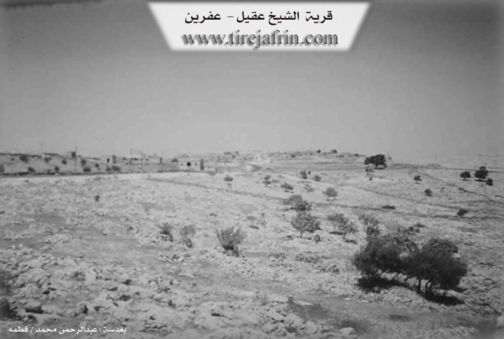
Photos
Basic Information about Xirabî Şêx 'Eqîl
Source: Tirej Afrin
Etymology: The name is derived from the Şêx Eqîl shrine located in the village.
Foundation Date/Period: 150 years ago
Shrines: Şêx Eqîl
Summaries
I. Summary from TirejAfrin Site (English) of Xirabî Şêx 'Eqîl
Source: https://www.tirejafrin.com/site/kura%20afrin%20markaz-%20shx%20eqil.htm
Based on the book جبل الكرد (عفرين) دراسة جغرافية Çiyayê Kurmênc (Efrîn): A Geographical Study by د. محمد عبدو علي Dr. Mihemed Ebdo Elî: Xirbe Şêx Eqîl, 565m altitude, 35km from center:
Its name is derived from the Şêx Eqîl shrine located in the village. It is a small village belonging to the Şêrawa villages.
Based on the book عفرين .... نهرها وروابيها الخضراء Efrîn... Her River and Her Green Hills by the writer عبدالرحمن محمد Ebdulrehman Mihemed from the village of Qetme:
Şêx Eqîl is a village in Çiyayê Sem'an. It follows the sub district of the central villages of the Efrîn area, Heleb governorate. It is a small village located in the south eastern Çiyayê Sem'an and Lêlûn mountain range.
It is bordered to the north by a rugged mountain range, a deep stream, and the village of Zûqê Mezin. To the south, it is bordered by a rugged mountain range, the village of Qibtan Cebel, and the village of Kefer Tîn. To the east, it is bordered by a rugged mountain range and the village of Başemra. To the west, it is bordered by a rugged mountain range, two streams, and the village of Fafertîn, which is located to the western side of the village of Şêx Eqîl.
The number of its houses amounts to approximately 25 houses, and the age of the village is 150 years. Its residences are both old and modern, made of mud and reinforced concrete. An electricity network has recently become available, as well as a primary school, and the road to the village was recently paved. Residents drink water from ponds, cisterns, and rainwater. The locals work primarily in grain cultivation and the raising of sheep and cows. Currently, it was annexed to the Nubil sub district of the Ezaz area in 1980.
Sources:
- Book: جبل الكرد (عفرين) دراسة جغرافية Çiyayê Kurmênc (Efrîn): A Geographical Study by د. محمد عبدو علي Dr. Mihemed Ebdo Elî.
- Book: عفرين .... نهرها وروابيها الخضراء Efrîn... Her River and Her Green Hills by عبدالرحمن محمد Ebdulrehman Mihemed from the village of Qetme.
Preparation and execution:
- Manager of Tirej Efrîn site: Ebdulrehman Hacî Osman
- 20/12/2013
Possible Village Name Meaning of Xirabî Şêx 'Eqîl
Its name is derived from the shrine of "Sheikh Aqil" located in the village.
Source: TirejAfrin Site