General Information
Nahiya (Subdistrict)
Ezaz
Also Known As
Al-Kurum, Yazabaĝ, Yazi baĝ, الكروم, يازي باغ
Photos
Basic Information about Yazi Baĝ
Source: Tirej Afrin
Etymology: The name is derived from the Kurdish word Bax meaning "wooded place" and the Turkish word Yazi meaning "summer or face". It was Arabized to El-Kurûm due to the abundance of vine shrubs there.
Foundation Date/Period: Approximately 250 years
Hills: Çiyayê Parse, Barse Dax
Summaries
I. Summary from TirejAfrin Site (English) of Yazi Baĝ
Source: https://www.tirejafrin.com/site/kura%20afrin%20%20sheran%20-%20yaze%20bax.htm
It is stated in the book جبل الكرد (عفرين) دراسة جغرافية Çiyayê Kurmênc (Efrîn): A Geographical Study regarding Yazibax Yazî Baxî El-Kurûm: 315 inhabitants, 215 hectares, 12 km, 660 m.
Bax is a Kurdish name meaning "wooded place" and Yazi means "the summer or the face" in Turkish. The name was Arabized to El-Kurûm due to the abundance of vine shrubs in it.
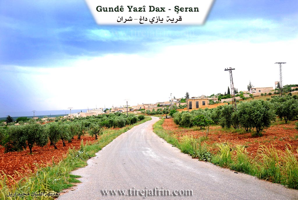
It is a small village located on the northern slope of Çiyayê Parse. It abuts the Turkish border on its northern side.
It is stated in the book عفرين .... نهرها وروابيها الخضراء Efrîn... Her River and Her Green Hills that Yazibax is a village in Çiyayê Kurmênc following the subdistrict of Şeran, in the region of Efrîn, governorate of Heleb. It is a small village located in the eastern part of the Çiyayê Kurmênc massif on the northwestern slope of the grooved limestone mountain of Barse Dax. Its soil is clay, and pastures are spread on the slopes. It is 12 km away from the town of Şeran towards the northeast and abuts the current Turkish border at a distance of 300 m on its northern side.
It is bordered to the north by a plain planted with fruit trees. It is bordered to the south by Çiyayê Barse which is planted with forest trees and vineyards, and the village of Me'rîn. It is bordered to the east by a plain, a valley, and directly by the Turkish border.
The site of the village is situated in a depression and a plain, surrounded on all sides by dense trees of fruit bearing varieties. To the west is an agriculturally fertile plain planted with fruit trees, almonds, walnuts, and some orchards irrigated by artesian wells, as well as the villages of Dîkmetaş and Qestel Cindo.
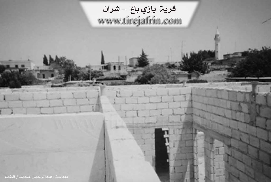
The number of its houses is about 35 houses and its age is about 250 years. Its old dwellings are stone and mud with flat wooden roofs, while the modern ones are cement and have intermingled with the old houses. The village has an electricity network, a primary school, a mosque in the center of the village, and an asphalt road connecting to the region of Ezaz via the village of Me'rîn.
The residents work in the cultivation of olives, vineyards, grains, and fruits such as apples, walnuts, and almonds. A portion of these trees are irrigated from artesian wells. They use these wells for drinking water, and these wells are numerous and abundant, leading to the availability of water there. They also raise sheep and goats.
This village is located in the eastern corner of the Efrîn region and was administratively annexed to the region of Ezaz in the year 1988.
Sources of Information:
- Book: جبل الكرد (عفرين) دراسة جغرافية Çiyayê Kurmênc (Efrîn): A Geographical Study by د. محمد عبدو علي Dr. Mihemed Ebdo Elî.
- Book: عفرين .... نهرها وروابيها الخضراء Efrîn... Her River and Her Green Hills by عبدالرحمن محمد Ebdulrehman Mihemed from the village of Qetme.
- Studies of Navenda Tirej Soft / Ebdulrehman Hacî Osman.
- Some residents of the villages.
Preparation and Execution: Manager of the website Tirej Efrîn: Ebdulrehman Hacî Osman 20/12/2013
Possible Village Name Meaning of Yazi Baĝ
Bagh: A Kurdish name meaning "wooded place", and Yazi: meaning "summer or face" in Turkish. The name has been Arabized to Al-Kurum due to the abundance of grape trees in it.
Source: TirejAfrin Site