General Information
Nahiya (Subdistrict)
Şera
Also Known As
Al-Zaytun, Zaytunak, Zêtûnekê, الزيتون, زيتوناك, زيتونكه
Families, Clans, etc.
Şêx Îsmaîl Zade

Photos
Basic Information about Zêtûnekê
Source: Tirej Afrin
Etymology: The name comes from the olive tree (zeytûn)
Foundation Date/Period: Approximately 200 years ago
Shrines: Mezara Nebî Hûrî
Ruins: Kelha Nebî Hûrî
Other Landmarks: Çemê Sabûn, Çemê Efrîn
Summaries
I. Summary from TirejAfrin Site (English) of Zêtûnekê
Source: https://www.tirejafrin.com/site/kura%20afrin%20%20sheran%20-%20zatonak.htm
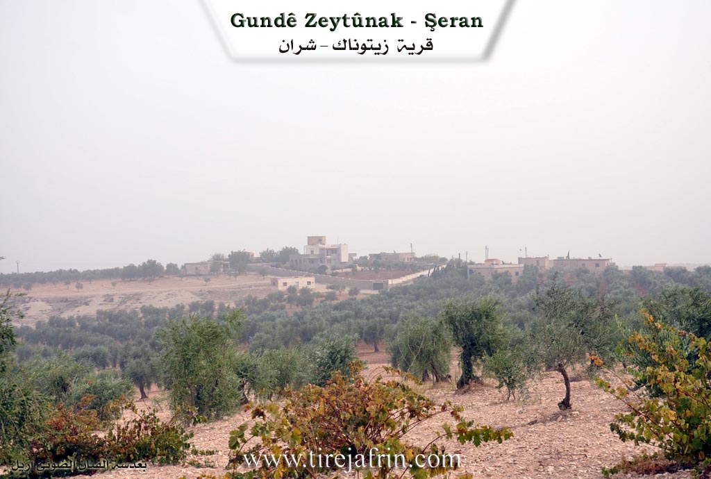
It is stated in the book Çiyayê Kurmênc (Efrîn): A Geographical Study: Ztnek Zeytûnak The Olive: 864 inhabitants, 595 hectares, 18km distance, 470m altitude.
The name comes from the olive tree (zeytûn).
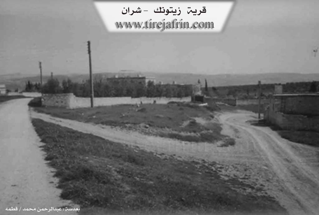
It is a medium sized village located west of Çemê Efrîn (Afrin River). It contains old houses belonging to the aghas of the Şêx Îsmaîl Zade family, and it is one of their main centers.
It is stated in the book Efrîn... Her River and Her Green Hills: Zeytûnak is a village in Çiyayê Kurmênc following the Şera district of the Efrîn region in the Heleb governorate (845 inhabitants). It is a small village located on a limestone plateau with clay soil. It is approximately 25km away from the town of Şera in a northeastern direction. It is surrounded by olive trees on all sides.
The village is bordered to the north by a valley and a plain planted with olive trees, the Riya Kelha Nebî Hûrî (Nebî Hûrî castle road), and the village of Umer Simo. To the south, it is bordered by a slope and a valley planted with olive trees, the course of Çemê Sabûn (Sabun river) and Çemê Efrîn (Afrin river), the village of Wêrkan on the eastern bank of the river, and the village of Bilûrsenk. To the west, there is a deep watercourse 100m away, followed by a plain of olive trees and the village of Se'rincik. To the east, there is a slope planted with olive trees, and 500m away lies the old Mezara Nebî Hûrî (Shrine of Prophet Huri) from the Roman era.
The settlement of the area is very old due to its proximity to the archaeological zone. The number of houses reaches 50, and its age is approximately 200 years. Its old houses include two old, luxurious, and beautiful homes belonging to the Şêx Îsmaîl Zade family, while the modern ones are made of stone and cement. An electricity network and drinking water from the state are available. The village has a primary school and a small mosque. The road leading to it is paved with dirt and asphalted up to the center of the village. There are also three old villas in the center of the village inhabited by the family of Mihemed Şêx Îsmaîl Zade and his brothers.
The residents of the village work in the cultivation of olives, vineyards, vegetables, and grains due to its proximity to the south of the course of Çemê Efrîn (Afrin River), alongside raising sheep and goats.
Sources of Information:
- Book: جبل الكرد (عفرين) دراسة جغرافية Çiyayê Kurmênc (Efrîn): A Geographical Study by د. محمد عبدو علي Dr. Mihemed Ebdo Elî.
- Book: عفرين .... نهرها وروابيها الخضراء Efrîn... Her River and Her Green Hills by عبدالرحمن محمد Ebdulrehman Mihemed from the village of Qetme.
- Studies of Navenda Tirej Soft / Ebdulrehman Hacî Osman.
- Some residents of the villages.
Preparation and execution: Manager of the Tirej Efrîn website: Ebdulrehman Hacî Osman 20/12/2013
Foundation/Origin Information of Zêtûnekê
It is one of the basic centers of the Aghas of Sheikh Ismail Zadeh family.
Source: TirejAfrin Site
Possible Village Name Meaning of Zêtûnekê
The name comes from the olive tree.
Source: TirejAfrin Site