General Information
Nahiya (Subdistrict)
Efrîn
Also Known As
Zirêgat, Zirêgatê, زريقات
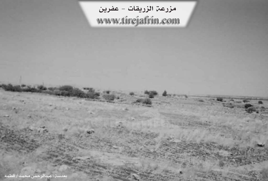
Photos
Basic Information about Zirêgatê
Source: Tirej Afrin
Etymology: Means temple in Assyrian. Also currently the name of a small Arab tribe found in Libnan and elsewhere
Foundation Date/Period: About 35 years
Summaries
I. Summary from TirejAfrin Site (English) of Zirêgatê
Source: https://www.tirejafrin.com/site/kura%20afrin%20markaz-%20zerqat.htm
It is stated in the book جبل الكرد (عفرين) دراسة جغرافية Çiyayê Kurmênc (Efrîn): A Geographical Study by د. محمد عبدو علي Dr. Mihemed Ebdo Elî:
Zirîqat / 540m /:
Zirîqat means temple in Assyrian. It is also currently the name of a small Arab tribe found in Libnan and other places.
The village consists of several houses. The language of its inhabitants is Arabic, and they are livestock breeders. It is located amidst rocky mountainous terrain, and its ownership belongs to the Robarî aghas in the village of Cilbil. It is located about 4km west of Basilhaya, and adjacent to it are ruins of ancient buildings from the Greek eras.
It is stated in the book: عفرين .... نهرها وروابيها الخضراء Efrîn... Her River and Her Green Hills by the writer عبدالرحمن محمد Ebdulrehman Mihemed from the village of Qetme:
Zirîqat: A farm in Çiyayê Lêlûn and Seman. It follows the center sub district and district of Efrîn, Heleb governorate. It is a very small farm located on the northern Lêlûn mountain chain.
It is bordered on the north by a rugged rocky mountain chain and the village of Kûble; on the south by a rocky slope, forest trees, and the village of Soxane; on the east by a chain of rocks, a valley, and the village of Basilhaya; and on the west by a rugged mountain chain of rocks and the village of Dêr Mişmiş.
The number of its houses is about eight houses, and its age is about 35 years. No type of services is available in it. The residents work in raising cows and livestock due to its rocky mountainous nature being unsuitable for agriculture. Several archaeological sites exist between the houses of the village, including a well and Roman implements carved into the rock. There are also ruins dating back to the Byzantine era. The road leading to it is mountainous, rugged, and unpaved. The inhabitants of this village settled from around the city of Heleb.
Sources
Book: جبل الكرد (عفرين) دراسة جغرافية Çiyayê Kurmênc (Efrîn): A Geographical Study by د. محمد عبدو علي Dr. Mihemed Ebdo Elî.
Book: عفرين .... نهرها وروابيها الخضراء Efrîn... Her River and Her Green Hills by عبدالرحمن محمد Ebdulrehman Mihemed from the village of Qetme.
Preparation and execution:
Manager of Tirej Efrîn site: Ebdulrehman Hacî Osman
20/12/2013
Foundation/Origin Information of Zirêgatê
The inhabitants of this village settled from around Aleppo city.
Source: TirejAfrin Site
Possible Village Name Meaning of Zirêgatê
Zirêgat means temple in Assyrian. It is also currently the name of a small Arab tribe that exists in Lebanon and elsewhere.
Source: TirejAfrin Site